
The hike starts at the car park at Åning with a steep ascent. The trail leading up to Instevatnet is good, and the lake lies at an elevation of 1,020 metres. From the lake, the route continues up along the ridge. This section mainly crosses solid bedrock, but after reaching an elevation of 1,500 metres, you will enter an area of scree.
The final sections of the trail take you along a narrow ridge, followed by a challenging, steep ascent towards the subsidiary summit. As you approach your destination, the terrain levels out into flat rock, and the final stretch towards the cairn offers pleasant walking.
To complete the hike, follow the same route back to the starting point at the car park at Åning.
Location
Similar listings in category
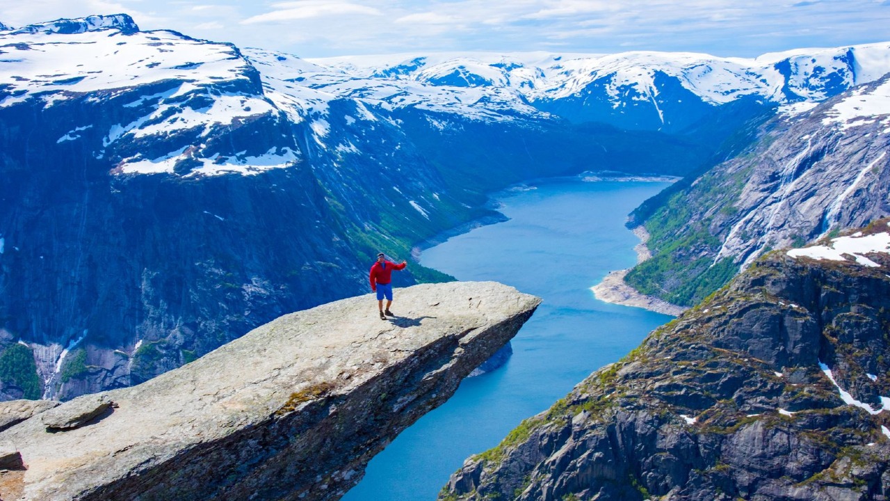
Mountain Hike to Trolltunga

Hike to Brossviksåta (723 m) in Gulen
Brossviksåta (723 m above sea level) – Mountain peak in Gulen, Vestland
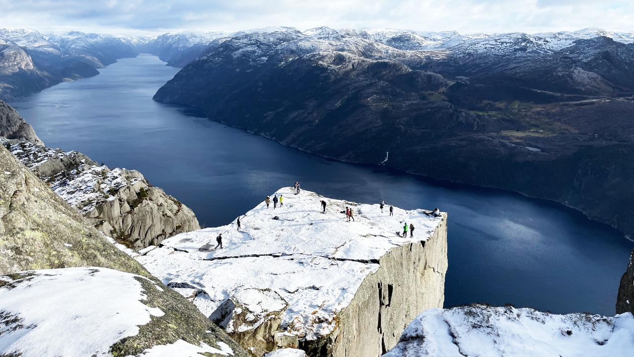
Preikestolen (604 m) - Mountain Plateau in Lysefjord
Preikestolen is one of Norway's most iconic mountain hikes, offering spectacular views of Lysefjord. The hike is moderately challenging and suitable for most people in average physical condition. The plateau, 604 metres above the fjord, offers an unforgettable nature experience.