
Norwegian Scenic Route Andøya
Norwegian Scenic Route Andøya is a 58 km coastal drive between Bjørnskinn and Andenes, with beaches, open ocean views and jagged mountains beside the Norwegian Sea.
- Jarle Wæhler / Statens vegvesen
- Steinar Skaar, Statens vegvesen
- Roger Ellingsen, Statens vegvesen
- Jarle Wæhler / Statens vegvesen
- Trine Kanter Zerwekh/ Statens vegvesen
- Arkitekt: Inge Dahlman, Landskapsfabrikken. ©Foto: Roger Ellingsen / Statens vegvesen
Norwegian Scenic Route Andøya is a 58-kilometre coastal drive between Bjørnskinn and Andenes, following the outer edge of the island where beaches, farmland and jagged mountains meet the Norwegian Sea.
Across Norway recommended route
For the best experience, we recommend starting the drive at Bjørnskinn and following the scenic west coast of Andøya north towards Andenes.
The road runs through an unusually open coastal landscape. A broad strip of cultivated land lies between the ocean and the mountains, creating long views towards the sea and the horizon. Around Bleik, the relationship between the fishing village, beaches and surrounding nature is particularly striking.
Andøya is also rich in wildlife. From the road and coastline there are opportunities to see seabirds, eagles and marine life, while the Gulf Stream contributes to a relatively mild coastal climate and productive waters.
Stops along the route
The official scenic-route stops include Kleivodden and Bukkekjerka. Both provide opportunities to leave the car and experience the exposed coastline more closely.
The route also gives access to some of Andøya’s beaches, where the open sea and broad horizon are central to the experience. During the summer months, the midnight sun adds another dimension to the landscape.
Travel information
Norwegian Scenic Route Andøya runs along the outer side of the island between Bjørnskinn and Andenes and reaches only 65 metres above sea level. This is therefore primarily a coastal route rather than a mountain crossing.
In summer, the Andenes–Gryllefjord ferry connects Andøya with Norwegian Scenic Route Senja, making it possible to combine the two scenic routes in one journey.
Road conditions and planning
At Børvågen, the road can occasionally be closed for several hours because of operational activity at Andøya Spaceport. Travellers should check current information when planning the drive.
The route is relatively short, but the beaches, viewpoints and coastal settlements make it worth setting aside extra time rather than treating Andøya simply as a road between two points.
Location
Similar listings in category
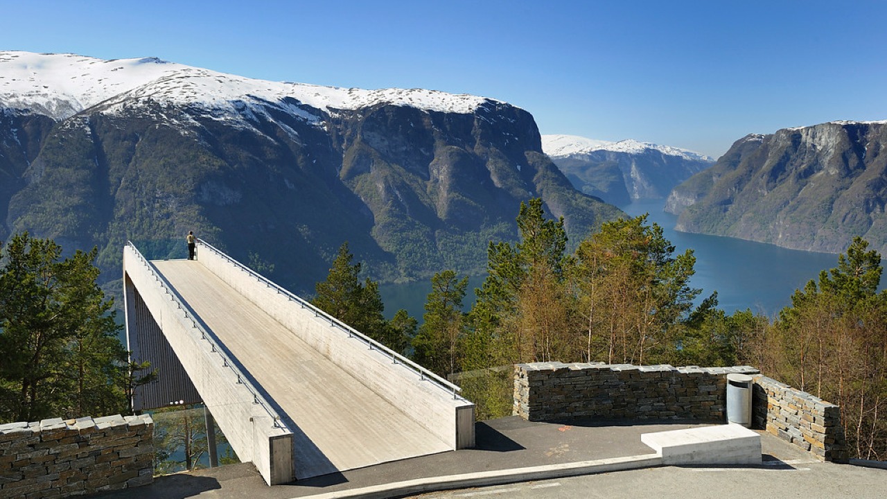
Norwegian Scenic Route Aurlandsfjellet
Norwegian Scenic Route Aurlandsfjellet is a spectacular 47 km mountain road between Aurland and Lærdal, known for dramatic fjord views, high-mountain landscapes and the famous Stegastein viewpoint.
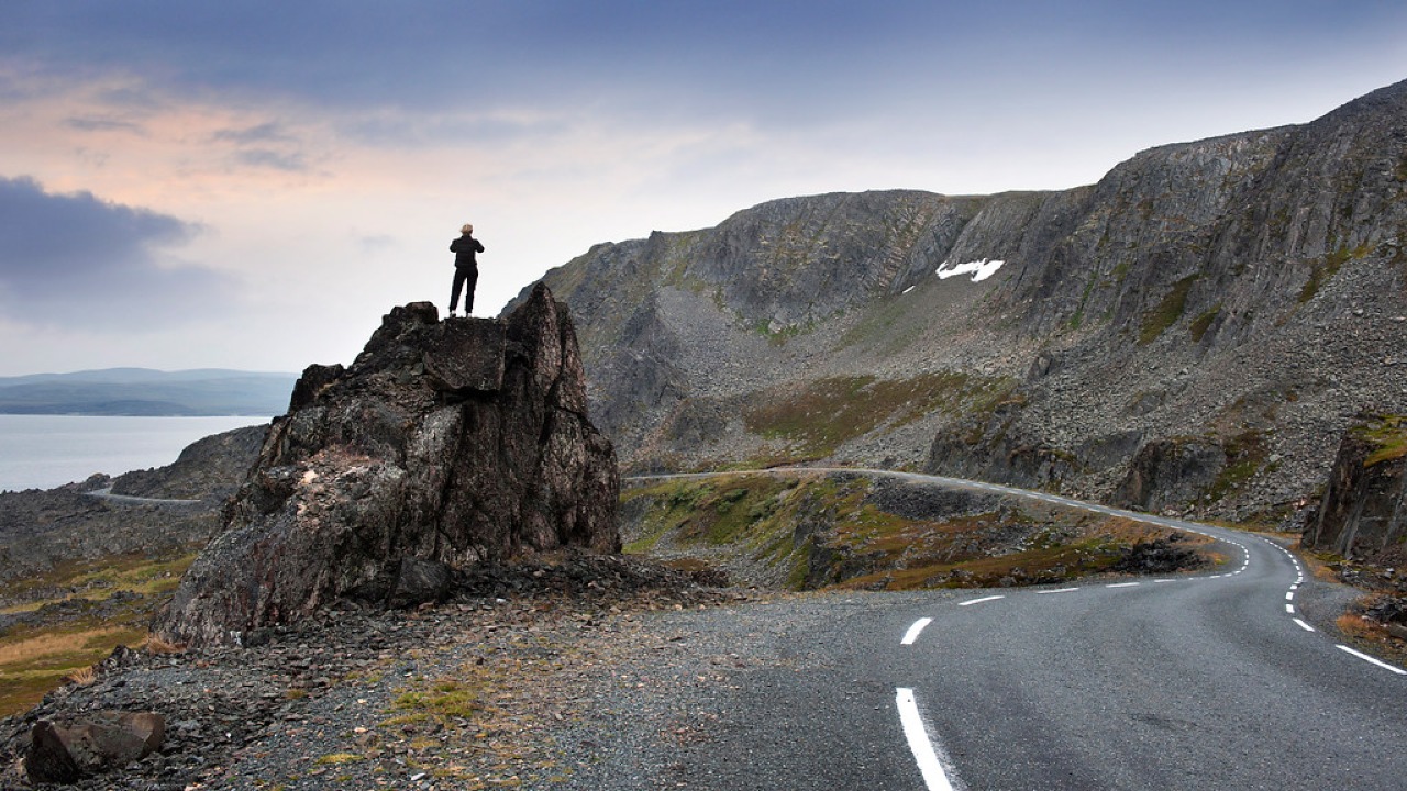
Norwegian Scenic Route Varanger
Norwegian Scenic Route Varanger is a 160 km drive from Varangerbotn to Hamningberg, combining Arctic coastal scenery, distinctive wildlife and a dramatic rocky landscape.
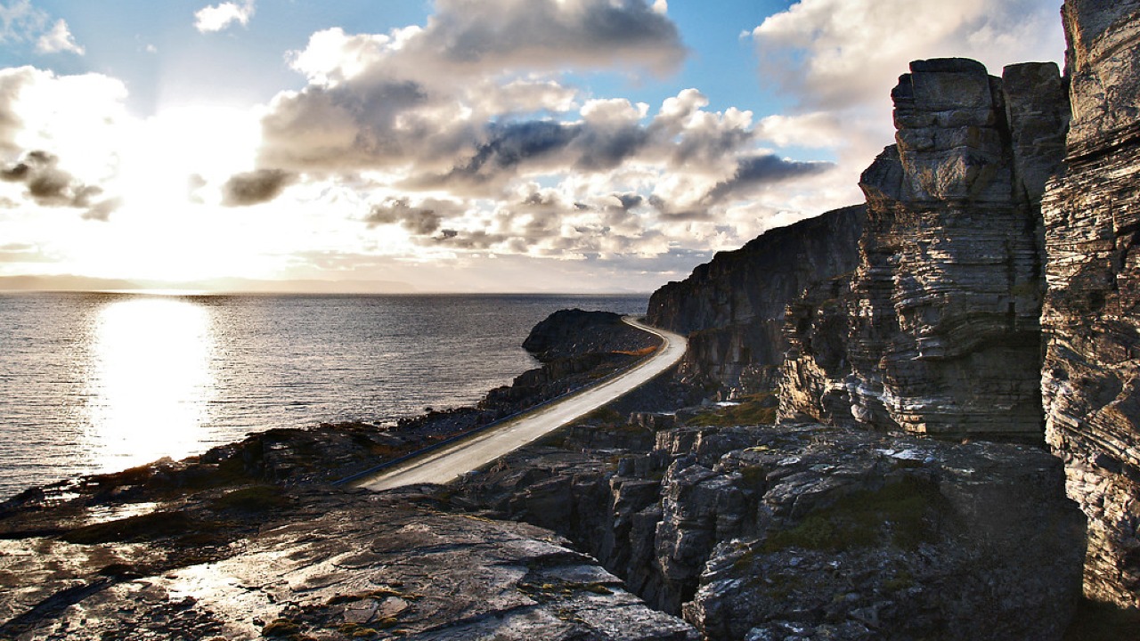
Norwegian Scenic Route Havøysund
Norwegian Scenic Route Havøysund is a 67 km Arctic coastal drive from Kokelv to Havøysund through barren rock landscapes, open sea views and remote Finnmark scenery.