
Norwegian Scenic Route Aurlandsfjellet
Norwegian Scenic Route Aurlandsfjellet is a spectacular 47 km mountain road between Aurland and Lærdal, known for dramatic fjord views, high-mountain landscapes and the famous Stegastein viewpoint.
- Jarle Wæhler / Statens vegvesen · Architect: Todd Saunders / Saunders & Wilhelmsen
- Bjørn Andresen / Statens vegvesen
- Helge Stikbakke, Statens vegvesen
- Frid-Jorunn Stabell, Statens vegvesen
- Therese Ruud, Statens vegvesen
- Per Ritzler, Statens vegvesen
Norwegian Scenic Route Aurlandsfjellet is a spectacular 47-kilometre drive between Lærdalsøyri and Aurlandsvangen, crossing a dramatic high-mountain landscape between two branches of the Sognefjord.
Across Norway recommended route
Our recommendation is to start in Lærdal and drive up over Aurlandsfjellet, then descend towards Stegastein and Aurland.
Often called the Snow Road, the route climbs from the fjord to a barren mountain plateau reaching 1,308 metres above sea level. Even well into summer, patches of snow can remain beside the road, creating a striking contrast with the green valleys and deep fjords below.
The journey is as much about the changing landscape as the destination. Starting from Lærdal, the road climbs through narrow valleys and mountain terrain before reaching the open plateau of Aurlandsfjellet. From here, the route continues towards Aurland with increasingly dramatic views of the surrounding mountains and fjord landscape.
Stegastein Viewpoint
One of the highlights of the route is Stegastein, an iconic viewing platform located 650 metres above Aurlandsfjord. The 30-metre-long platform extends out from the mountainside and offers panoramic views across the fjord and surrounding mountains.
Stops along the route
Several specially designed viewpoints and rest areas are located along Aurlandsfjellet, including Sluppen, Vedahaugane, Flotane and Stegastein. These stops combine Norwegian nature with modern architecture, landscape design and art.
Flotane sits high on the mountain plateau surrounded by open terrain, while Vedahaugane offers views towards the valleys, mountains and distant peaks of Jotunheimen. Sluppen provides access to the river and surrounding landscape closer to Lærdal.
When to drive Aurlandsfjellet
The mountain section of Aurlandsfjellet is closed during winter and normally opens in late spring or early summer, depending on snow and weather conditions. The road between Aurlandsvangen and Stegastein remains open throughout the year.
Weather conditions can change quickly at this altitude, and temporary closures may occur even after the road has opened for the season. Check current road conditions before travelling.
A spectacular round trip
Aurlandsfjellet can be combined with the 24.5-kilometre Lærdal Tunnel to create an impressive circular drive between Aurland and Lærdal. For the most dramatic experience, driving from Lærdal towards Aurland is recommended, finishing with the descent towards Aurlandsfjord and Stegastein.
Location
Similar listings in category
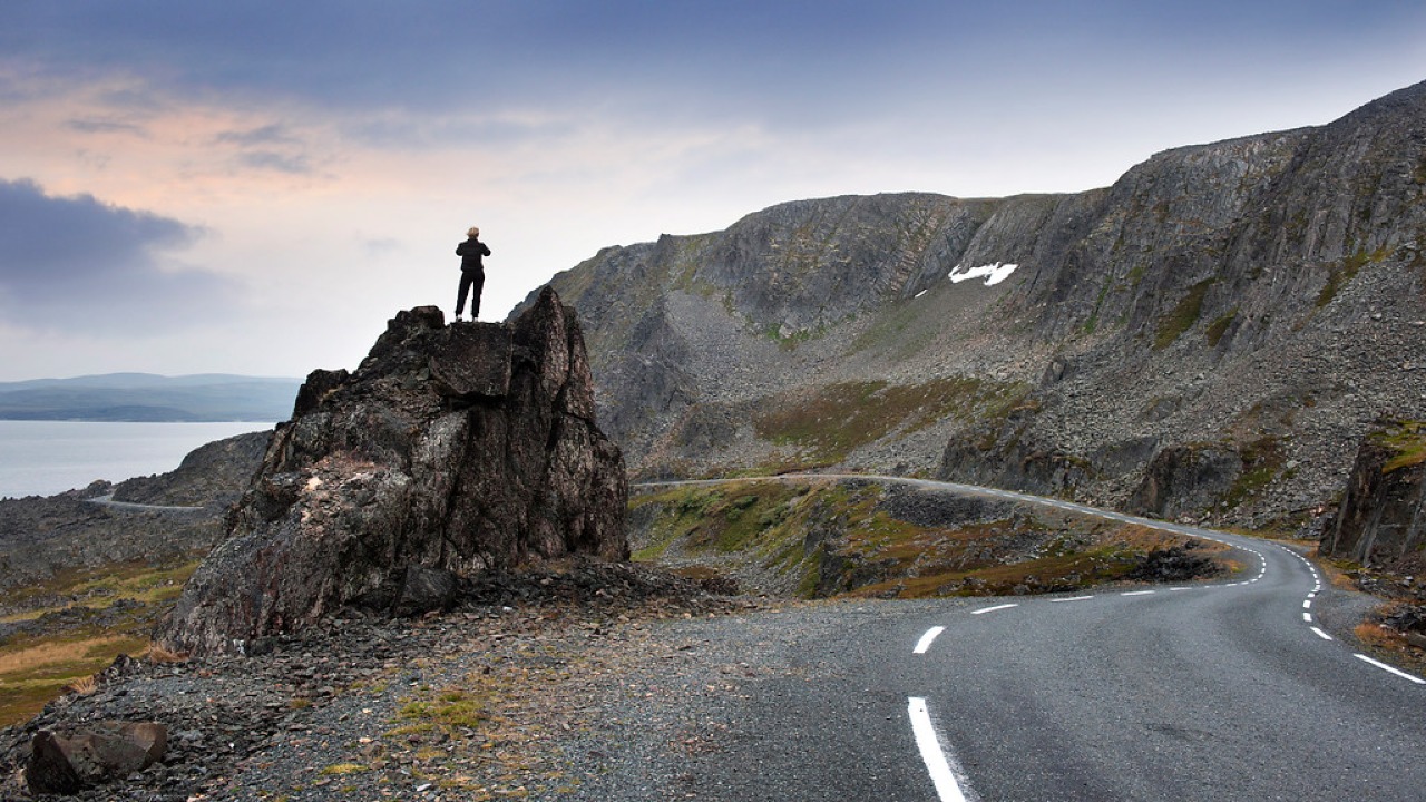
Norwegian Scenic Route Varanger
Norwegian Scenic Route Varanger is a 160 km drive from Varangerbotn to Hamningberg, combining Arctic coastal scenery, distinctive wildlife and a dramatic rocky landscape.
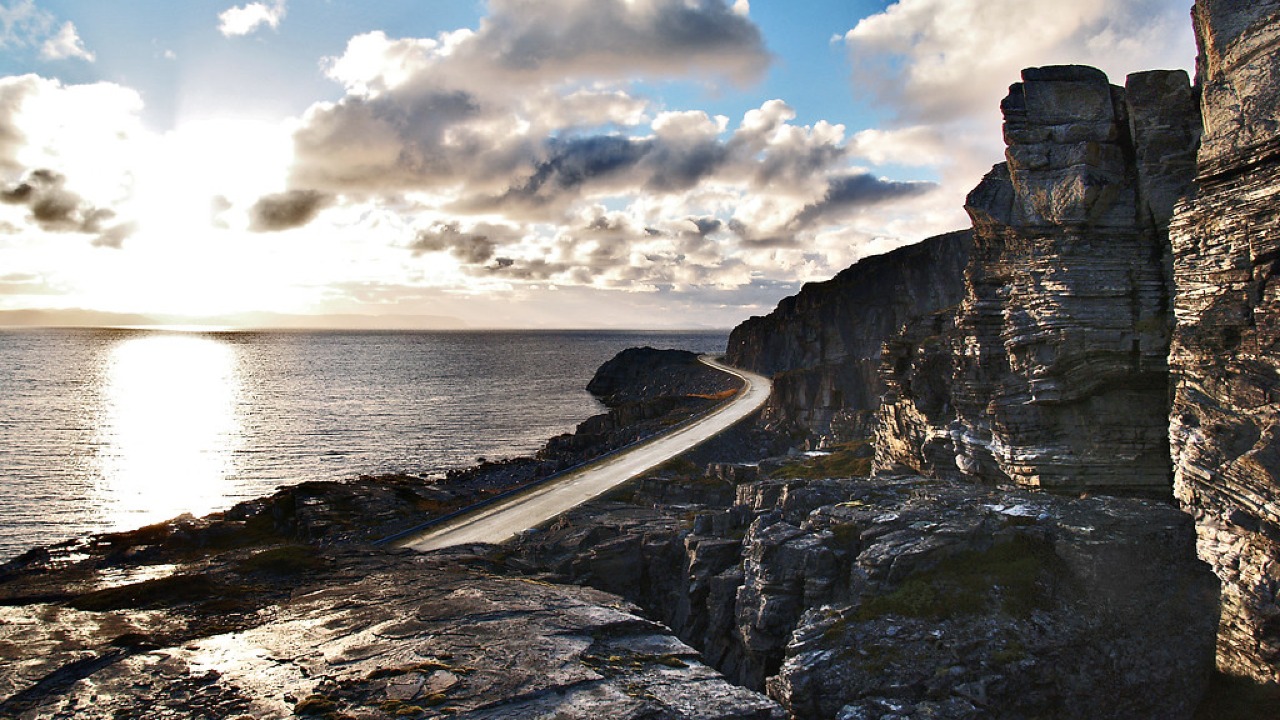
Norwegian Scenic Route Havøysund
Norwegian Scenic Route Havøysund is a 67 km Arctic coastal drive from Kokelv to Havøysund through barren rock landscapes, open sea views and remote Finnmark scenery.
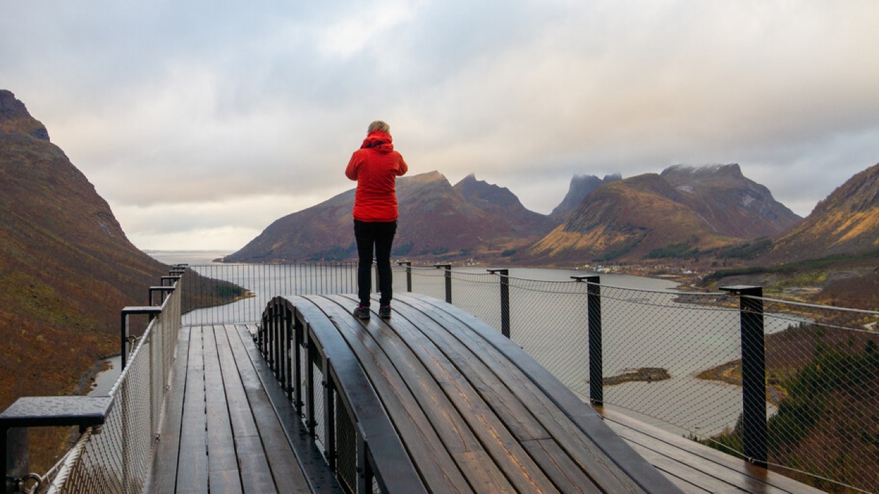
Norwegian Scenic Route Senja
Norwegian Scenic Route Senja is a 102 km drive between Gryllefjord and Botnhamn, following dramatic fjords, steep mountains and fishing villages on Senja’s west coast.