
Norwegian Scenic Route Varanger
Norwegian Scenic Route Varanger is a 160 km drive from Varangerbotn to Hamningberg, combining Arctic coastal scenery, distinctive wildlife and a dramatic rocky landscape.
- Roger Ellingsen / Statens vegvesen
- Jarle Wæhler, Statens vegvesen
- Jarle Wæhler, Statens vegvesen
- Arkitekt: Margrete Friis Landskapsarkitekt: Berg & Dyring Foto: Ole Flatmark, Statens vegvesen
- Jarle Wæhler, Statens vegvesen
- Persfjorden. Foto: Fredrik Fløgstad, Statens vegvesen
Norwegian Scenic Route Varanger is a 160-kilometre journey from Varangerbotn to Hamningberg, following the edge of the Varangerfjord through one of Norway’s most distinctive Arctic landscapes.
Across Norway recommended route
For the best experience, we recommend starting the drive in Varangerbotn and following the scenic coastal route east towards Hamningberg, where the road ends in a dramatic Arctic landscape by the Barents Sea.
The route is shaped by long horizons, open skies and a coastline where the light can change dramatically with the weather and season. Along the way, the scenery shifts from birch woodland and marshes to exposed cliffs and a rugged, almost lunar coastal landscape towards Hamningberg. The road also passes through an area with strong Sami, Finnish and northern Norwegian cultural traditions.
Wildlife is an important part of the experience. Varanger is internationally known for its birdlife, and the route passes several places designed for birdwatching. Reindeer are also commonly seen in the region, making the drive feel closely connected to the Arctic environment.
Stops along the route
Official viewpoints and rest areas include Steilneset, Domen, Nesseby Church, Mortensnes, Gornitak, Hamningberg and dedicated bird-watching facilities. These stops provide opportunities to experience the coast, cultural history and wildlife at a slower pace.
The final stretch towards Hamningberg is especially memorable. Here the road enters a barren rock landscape beside the Barents Sea, creating a strong sense of travelling towards the outer edge of Norway.
Travel information
The scenic route runs from Varangerbotn to Hamningberg and reaches a maximum elevation of 123 metres above sea level. The section between Svartnes and Hamningberg is narrow and has many bends, so allow extra time and drive carefully.
When to drive Varanger
The road between Smelror and Hamningberg is closed during winter. Even after the seasonal reopening, temporary closures can occur during bad weather. Check current road conditions before driving the final section to Hamningberg.
Varanger can also be combined with the Hurtigruten coastal express and Norwegian Scenic Route Havøysund as part of a longer round trip through northern Norway.
Location
Similar listings in category
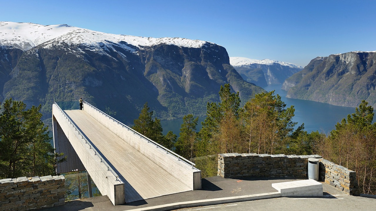
Norwegian Scenic Route Aurlandsfjellet
Norwegian Scenic Route Aurlandsfjellet is a spectacular 47 km mountain road between Aurland and Lærdal, known for dramatic fjord views, high-mountain landscapes and the famous Stegastein viewpoint.
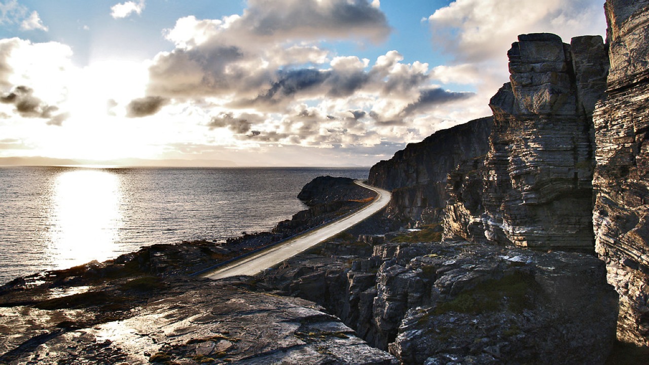
Norwegian Scenic Route Havøysund
Norwegian Scenic Route Havøysund is a 67 km Arctic coastal drive from Kokelv to Havøysund through barren rock landscapes, open sea views and remote Finnmark scenery.
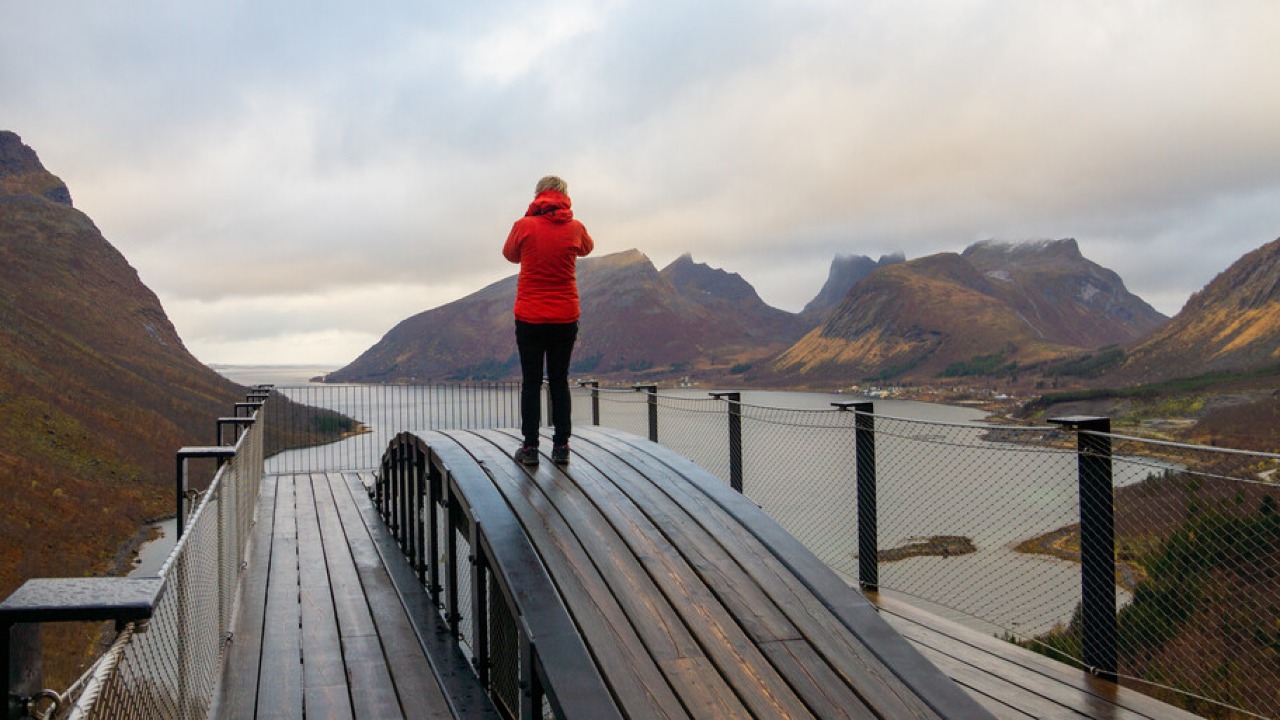
Norwegian Scenic Route Senja
Norwegian Scenic Route Senja is a 102 km drive between Gryllefjord and Botnhamn, following dramatic fjords, steep mountains and fishing villages on Senja’s west coast.