
Norwegian Scenic Route Atlanterhavsvegen
Norwegian Scenic Route Atlanterhavsvegen is a 36 km coastal drive between Bud and Kårvåg, crossing islands and reefs with seven bridges beside Hustadvika.
- Yngvild Meinseth / Statens vegvesen
- Magne Flemsæter / Statens vegvesen
- Arkitekt for fiskebruene: Manthey Kula as. - Foto: Eline Karlsdatter Fladseth, Visit Northwest
- Arkitekt for fiskebruene: Manthey Kula as ©Foto: Roger Ellingsen / Statens vegvesen
- Grete Kongshaug, Statens vegvesen
- Tom Auger, Rever & Drage AS
Norwegian Scenic Route Atlanterhavsvegen is a 36-kilometre coastal drive between Bud and Kårvåg, where bridges connect small islands and reefs along the exposed Hustadvika coast.
Across Norway recommended route
For the best experience, we recommend starting the drive in Bud and heading northeast towards Kårvåg.
The best-known section is the Atlantic Road itself, where the road curves from island to island across seven bridges. Here modern engineering and the open ocean meet in a landscape that can change completely with the weather. On calm days the sea can appear almost peaceful; in rough weather the same coastline becomes dramatic and powerful.
Beyond the bridges, the route continues through fertile coastal farmland, moorland and bare rock beside Hustadvika. The short total distance makes it easy to stop frequently and experience the road from several different viewpoints.
Stops along the route
Official stops include Kjeksa, Askevågen, Farstadsanden, Hågå, Myrbærholmbrua, Eldhusøya and Geitøya.
These places provide different perspectives on the coastline, bridges and open sea. Several are designed so visitors can leave the car and walk closer to the water and surrounding landscape.
Travel information
The scenic route runs from Bud to Kårvåg on roads 64, 6070, 663, 6064 and 6060. It reaches only 30 metres above sea level, keeping the journey closely connected to the coast throughout.
Strong winds are common in this exposed landscape, particularly around the bridges and open sections near Hustadvika.
More than the famous bridges
The iconic bridges are the best-known part of Atlanterhavsvegen, but the complete scenic route extends well beyond them. Driving the full route between Bud and Kårvåg reveals a broader coastal landscape of fishing communities, beaches, farmland and weather-beaten shoreline. Allow time for several stops, especially when the light or weather makes the ocean part of the experience.
Location
Similar listings in category
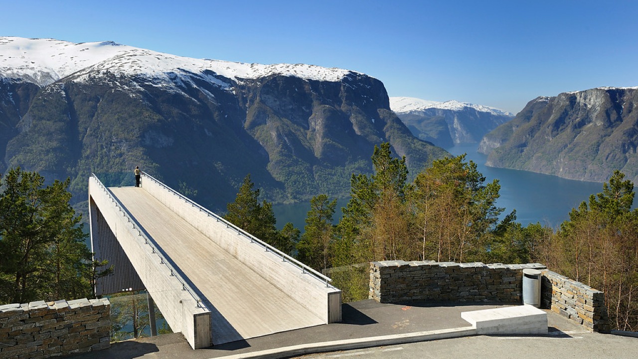
Norwegian Scenic Route Aurlandsfjellet
Norwegian Scenic Route Aurlandsfjellet is a spectacular 47 km mountain road between Aurland and Lærdal, known for dramatic fjord views, high-mountain landscapes and the famous Stegastein viewpoint.
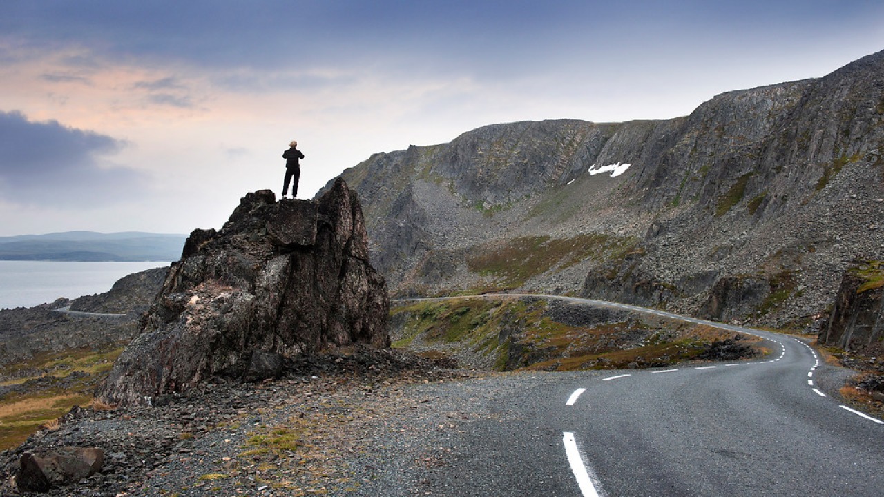
Norwegian Scenic Route Varanger
Norwegian Scenic Route Varanger is a 160 km drive from Varangerbotn to Hamningberg, combining Arctic coastal scenery, distinctive wildlife and a dramatic rocky landscape.
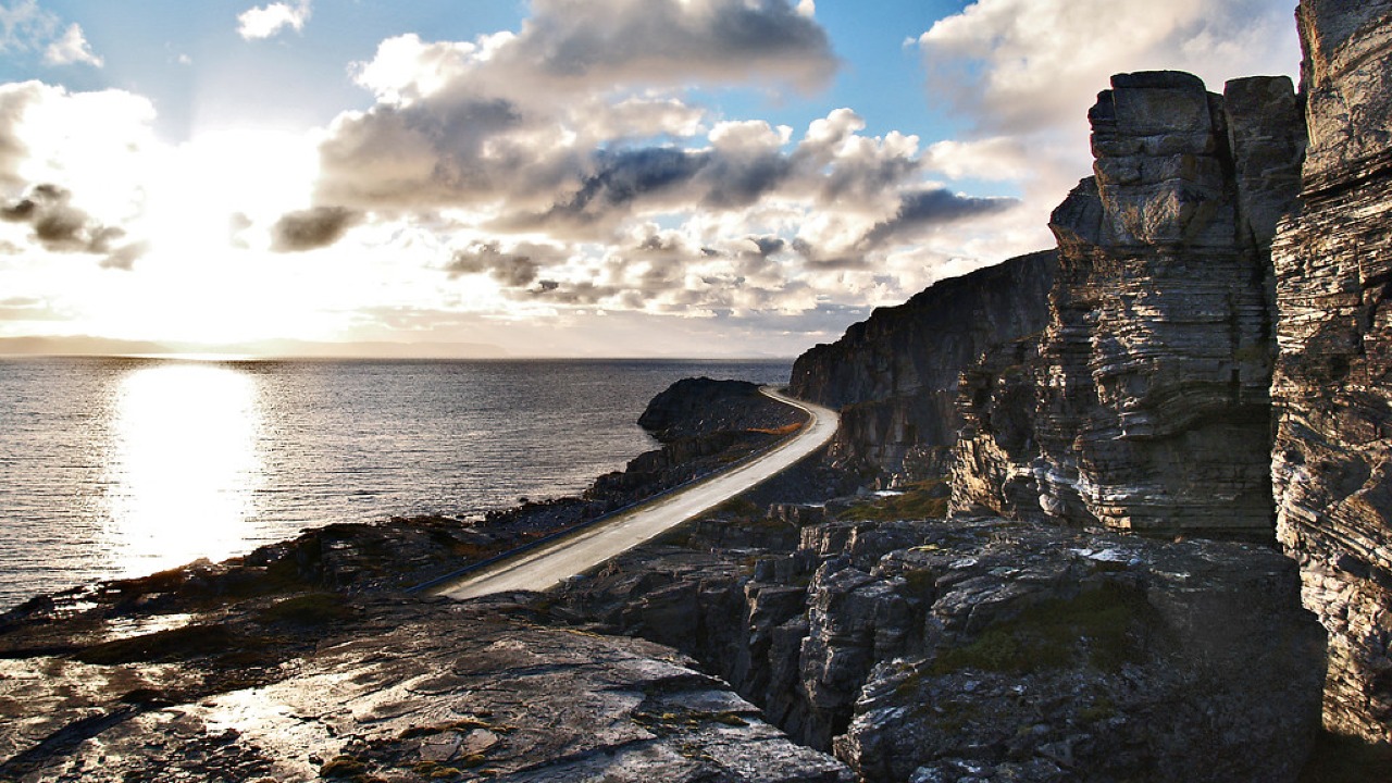
Norwegian Scenic Route Havøysund
Norwegian Scenic Route Havøysund is a 67 km Arctic coastal drive from Kokelv to Havøysund through barren rock landscapes, open sea views and remote Finnmark scenery.