
Norwegian Scenic Route Senja
Norwegian Scenic Route Senja is a 102 km drive between Gryllefjord and Botnhamn, following dramatic fjords, steep mountains and fishing villages on Senja’s west coast.
- Bergsbotn, Nasjonal turistveg Senja. Arkitekt: Code arkitektur AS. Foto: Trine Kanter Zerwekh
- Jarle Wæhler, Statens vegvesen
- Arkitekt: Code arkitektur AS Foto: Roger Thorstad, Statens vegvesen
- Roger Ellingsen, Statens vegvesen
- Arkitekt: Fur Arkitekter og Agraff Arkitektur. Foto: Frid-Jorunn Stabell
Norwegian Scenic Route Senja is a 102-kilometre drive between Gryllefjord and Botnhamn, following the dramatic west coast of Senja through deep fjords, steep mountains and small fishing communities.
Across Norway recommended route
For the best experience, we recommend starting the drive in Gryllefjord and following the spectacular west coast of Senja north towards Botnhamn, with optional detours to Mefjordvær and Husøy.
The defining feature of the route is the close relationship between mountain and sea. Sharp peaks rise almost directly from the ocean, while the road twists along narrow strips of land between the water and the mountainsides. Around Bergsfjord, the scenery changes again to a calmer coastal landscape of islets and skerries.
Short detours lead to fishing villages such as Husøy, Bøvær and Mefjordvær, adding another dimension to the drive and giving visitors a closer look at life on the outer coast.
Viewpoints and stops
Among the official stops are Bergsbotn, Tungeneset, Ersfjordstranda and Mefjordvær. Bergsbotn provides a broad view over the fjord and surrounding mountains, while Tungeneset is positioned opposite the dramatic peaks of Okshornan. Ersfjordstranda brings the route down to one of Senja’s scenic beaches.
Together, these stops show how quickly the landscape changes along a relatively short stretch of road.
Travel information
The scenic route runs between Gryllefjord and Botnhamn, with detours to Husøy and Mefjordvær, and reaches 287 metres above sea level. Senja can be reached from the mainland via Finnsnes, or by ferry.
The Gryllefjord–Andenes ferry connects Scenic Route Senja directly with Norwegian Scenic Route Andøya during the operating season. The Botnhamn–Brensholmen ferry provides a useful connection towards Tromsø.
Take your time
Although the route is just over 100 kilometres, the combination of narrow coastal roads, viewpoints, beaches and fishing villages makes it worth allowing considerably more time than the distance alone suggests. Senja is best experienced with frequent stops and time to explore the landscape outside the car.
Location
Similar listings in category
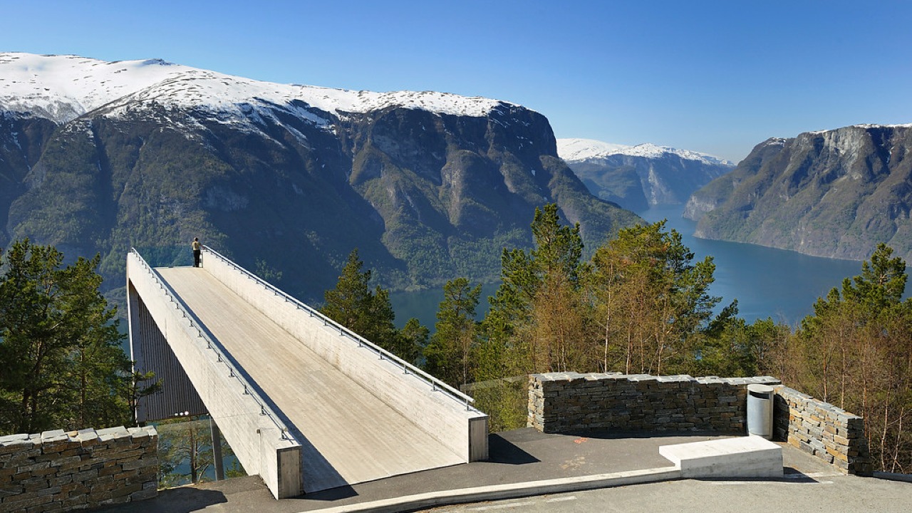
Norwegian Scenic Route Aurlandsfjellet
Norwegian Scenic Route Aurlandsfjellet is a spectacular 47 km mountain road between Aurland and Lærdal, known for dramatic fjord views, high-mountain landscapes and the famous Stegastein viewpoint.
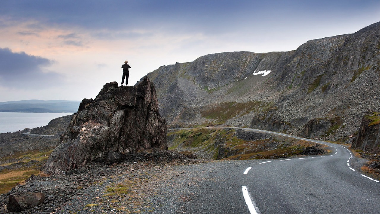
Norwegian Scenic Route Varanger
Norwegian Scenic Route Varanger is a 160 km drive from Varangerbotn to Hamningberg, combining Arctic coastal scenery, distinctive wildlife and a dramatic rocky landscape.
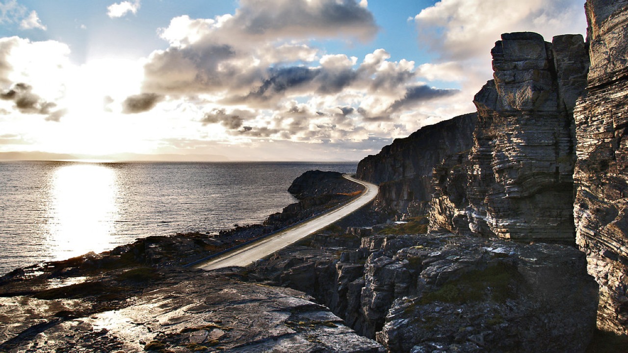
Norwegian Scenic Route Havøysund
Norwegian Scenic Route Havøysund is a 67 km Arctic coastal drive from Kokelv to Havøysund through barren rock landscapes, open sea views and remote Finnmark scenery.