
Norwegian Scenic Route Gamle Strynefjellsvegen
Norwegian Scenic Route Gamle Strynefjellsvegen is a 27 km historic mountain road between Videsæter and Grotli, known for hand-built stonework and old road engineering.
- Roger Ellingsen, Statens vegvesen
- Per Ritzler, Statens vegvesen
- Vegar Moen for Statens vegvesen
- Hege Lysholm / Statens vegvesen
- Jarle Wæhler / Statens vegvesen
- Jarle Wæhler / Statens vegvesen
Norwegian Scenic Route Gamle Strynefjellsvegen is a 27-kilometre historic mountain road between Videsæter and Grotli, offering a rare opportunity to experience Norwegian road engineering from the late 19th century.
Across Norway recommended route
We recommend starting at Videsæter and drive east towards Grotli.
Unlike many scenic routes, the road itself is the main attraction. It was built largely by manual labour and still carries clear traces of the techniques used when the route first connected Eastern and Western Norway across Strynefjellet.
Long rows of guard stones, carefully constructed stone walls and sections of gravel road give the journey a character that is very different from the modern trunk road nearby. The route was protected as a historic road in 2009, preserving an important part of Norway’s transport history.
Stops along the route
The official scenic-route stops are Videfossen and Øvstefoss, both located where water and mountain scenery form part of the experience.
The small village of Hjelle also has a historical connection to the old road, as the original route began at the quay there.**
Travel information
Gamle Strynefjellsvegen runs between Videsæter and Grotli on road 258. The route rises from 465 to 1,139 metres above sea level, and parts of the road have a gravel surface.
The old road is narrow in places and should be driven at a relaxed pace. This is especially appropriate here, because many of the details that make the route special are found in the road construction itself.**
Seasonal road
Gamle Strynefjellsvegen is closed during winter and normally opens after snow clearing in late spring or early summer. Opening dates vary from year to year, and temporary closures can occur even after the road has opened.
For travellers interested in historic roads as well as mountain scenery, this route offers one of the clearest examples in Norway of how travel across the mountains looked before modern tunnels and high-standard roads.**
Location
Similar listings in category
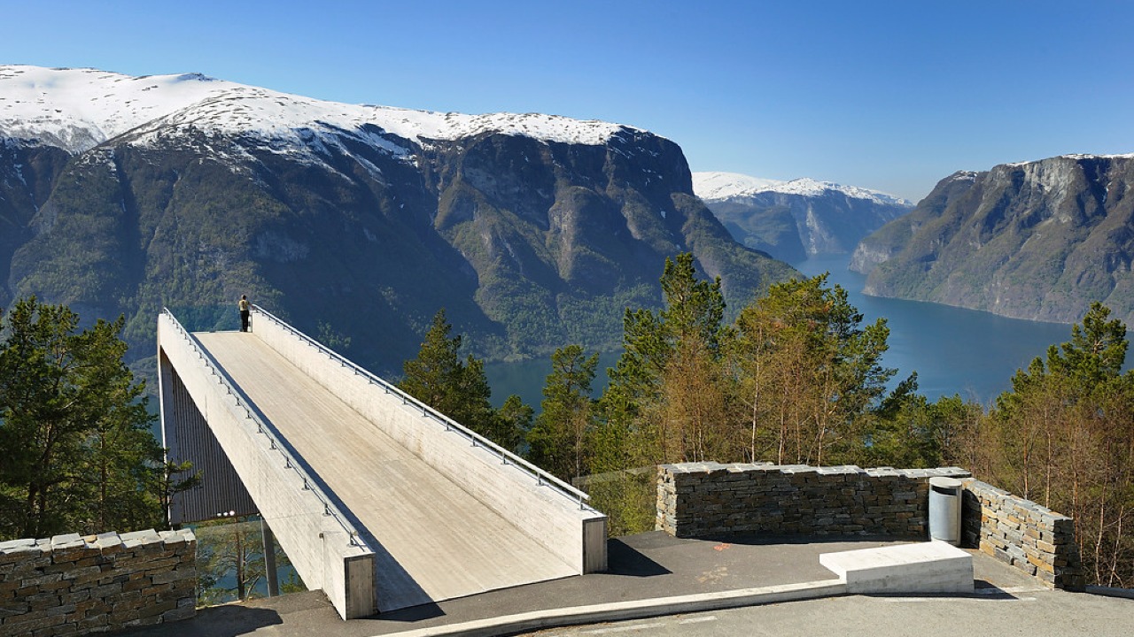
Norwegian Scenic Route Aurlandsfjellet
Norwegian Scenic Route Aurlandsfjellet is a spectacular 47 km mountain road between Aurland and Lærdal, known for dramatic fjord views, high-mountain landscapes and the famous Stegastein viewpoint.
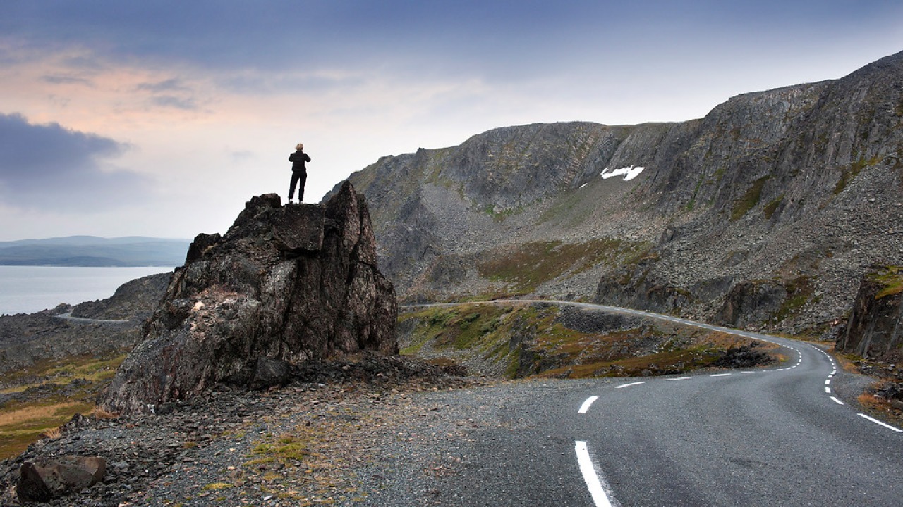
Norwegian Scenic Route Varanger
Norwegian Scenic Route Varanger is a 160 km drive from Varangerbotn to Hamningberg, combining Arctic coastal scenery, distinctive wildlife and a dramatic rocky landscape.
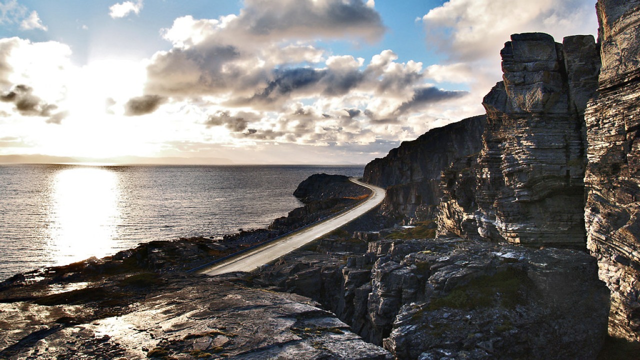
Norwegian Scenic Route Havøysund
Norwegian Scenic Route Havøysund is a 67 km Arctic coastal drive from Kokelv to Havøysund through barren rock landscapes, open sea views and remote Finnmark scenery.