
Norwegian Scenic Route Gaularfjellet
Norwegian Scenic Route Gaularfjellet is a 114 km route linking Sunnfjord and Sogn, following protected waterways, waterfalls and a steep mountain road towards Balestrand.
- Arkitekt: Code Arkitektur AS. Foto: Trine Kanter Zerwekh
- Jarle Wæhler / Statens vegvesen
- Jarle Wæhler / Statens vegvesen
- Trine Kanter Zerwekh, Statens vegvesen
- Roger Thorstad, Statens vegvesen
- Trine Kanter Zerwekh
Norwegian Scenic Route Gaularfjellet is a 114-kilometre journey between Sunnfjord and Sogn, following fjords, protected waterways, waterfalls and a winding mountain road towards Balestrand.
Across Norway recommended route
We recommend starting in Moskog and driving towards Balestrand. You can also start the drive towards Balestrand from Sande, which is also part of the Norwegian Scenic Route Gaularfjellet.
The route begins in a softer landscape of valleys and watercourses before climbing sharply towards the mountain plateau. One of its defining features is Gaularvassdraget, a protected river system where the water changes from quiet stretches to rapids and powerful waterfalls.
The road itself becomes part of the experience on the climb towards Gaularfjellet, where tight bends reveal increasingly broad views over the surrounding valleys and mountains.
Stops along the route
Official stops include Hestad, Likholefossen, Torsnesstølen and Utsikten.
At Likholefossen, a bridge brings visitors close to the rushing water, while Utsikten is positioned high above the valley and provides a wide view of the road winding through the landscape below.
Travel information
Norwegian Scenic Route Gaularfjellet runs between Moskog and Balestrand on roads 55 and 613, with another section between Sande and Eldalsosen on road 610. The route reaches 784 metres above sea level.
Balestrand also provides opportunities for further excursions along the Sognefjord and towards the glacier landscape.
Seasonal mountain section
The section across Gaularfjellet between Mel and Mjell is closed during winter. Opening dates vary according to snow and weather conditions, and travellers should check current road information when driving early or late in the season.
Gaularfjellet is especially suited to a slower journey. The combination of river, waterfalls, fjord and mountain road makes frequent stops an important part of the experience.
Note: The GPX track starts in Moskog and continues towards Balestrand, with a detour via Sande. This is why the displayed distance is 137 km.
Location
Similar listings in category
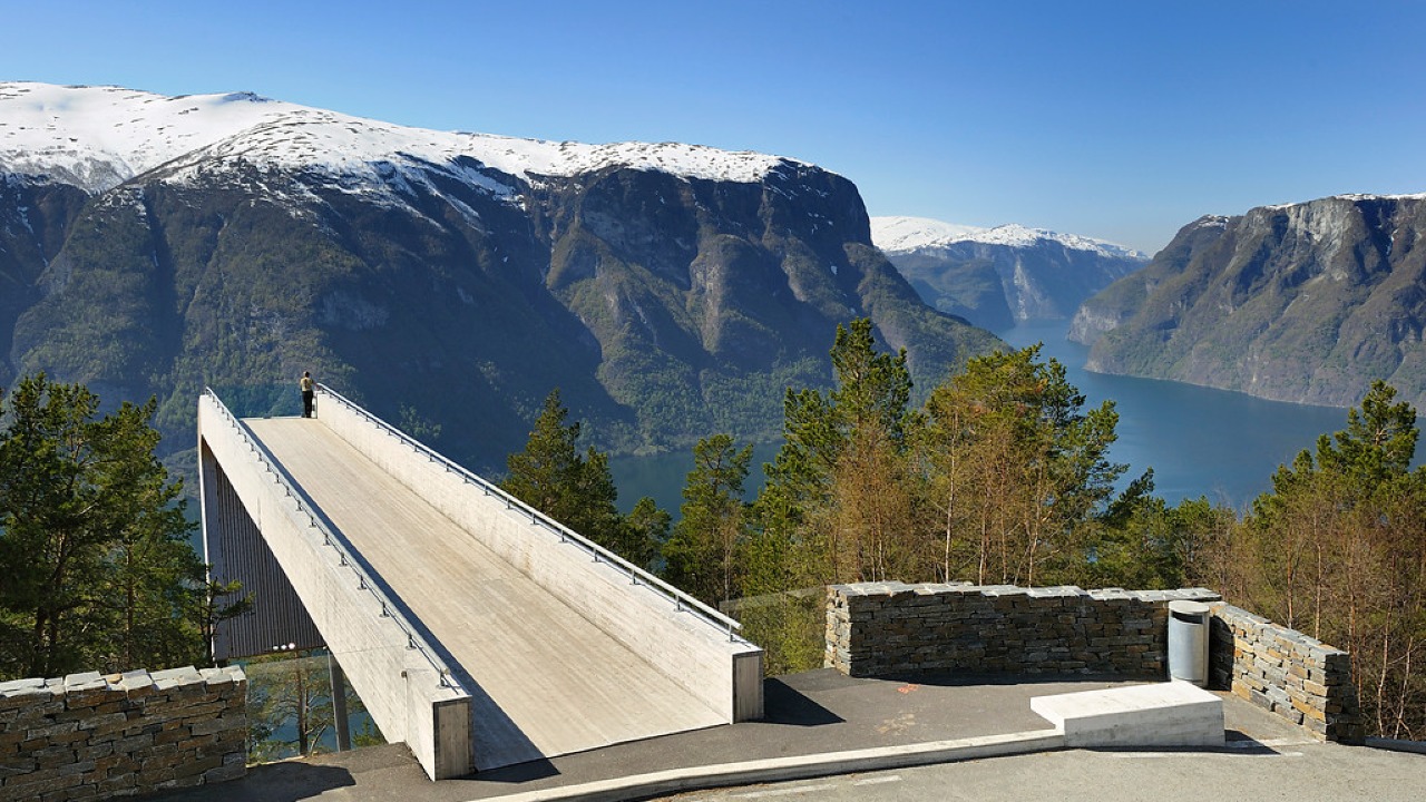
Norwegian Scenic Route Aurlandsfjellet
Norwegian Scenic Route Aurlandsfjellet is a spectacular 47 km mountain road between Aurland and Lærdal, known for dramatic fjord views, high-mountain landscapes and the famous Stegastein viewpoint.
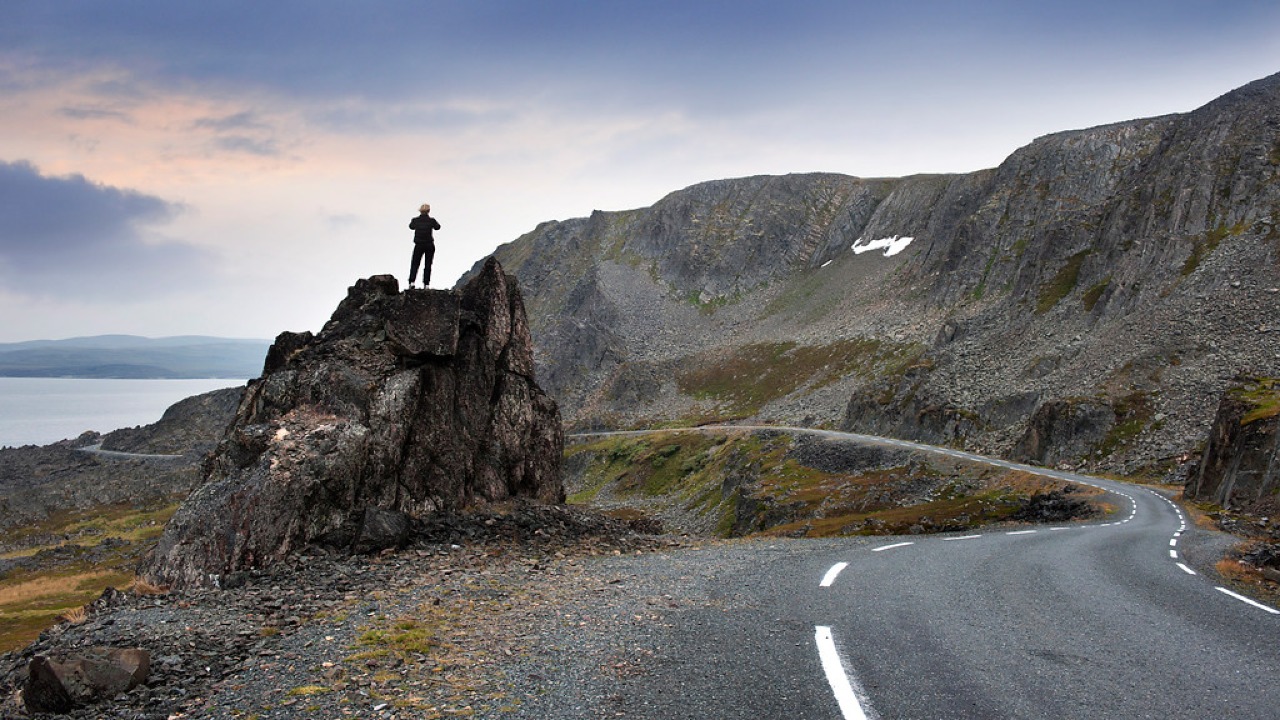
Norwegian Scenic Route Varanger
Norwegian Scenic Route Varanger is a 160 km drive from Varangerbotn to Hamningberg, combining Arctic coastal scenery, distinctive wildlife and a dramatic rocky landscape.
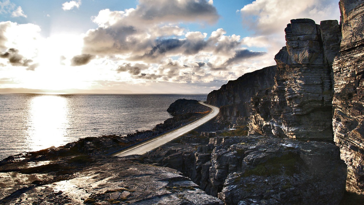
Norwegian Scenic Route Havøysund
Norwegian Scenic Route Havøysund is a 67 km Arctic coastal drive from Kokelv to Havøysund through barren rock landscapes, open sea views and remote Finnmark scenery.