
Norwegian Scenic Route Geiranger – Trollstigen
Norwegian Scenic Route Geiranger–Trollstigen is a 104 km mountain and fjord drive with Trollstigen’s hairpin bends, Geiranger viewpoints and one ferry crossing.
- Jarle Wæhler / Statens vegvesen
- Arkitekt: Reiulf Ramstad Arkitekter as. Landskapsarkitekt: Multiconsult. ©Foto: Jarle Wæhler / Statens vegvesen
- Jarle Wæhler, Statens vegvesen
- Gudbrandsjuvet i Valldalen. Arkitekt: Jensen & Skodvin Arkitektkontor as ©Foto: Jarle Wæhler / Statens vegvesen
- Roger Ellingsen, Statens vegvesen
- Arkitekt: 3RW; Sixten Rahlff. ©Foto: Jarle Wæhler / Statens vegvesen
Norwegian Scenic Route Geiranger–Trollstigen is a 104-kilometre journey through some of Western Norway’s most dramatic mountain and fjord scenery, linking steep valleys, famous viewpoints and one of the country’s best-known mountain roads.
Across Norway recommended route
We recommend starting the drive at Langvatnet near Stryn and continuing towards Geiranger. From Geiranger, take the ferry crossing before continuing through Valldalen and over Trollstigen. The route ends at Sogge Bridge near Åndalsnes.
The route is characterised by sharp contrasts. Lush valleys and cultivated areas give way to steep mountainsides, deep fjords and high mountain terrain. Two of the most famous experiences are the eleven hairpin bends of Trollstigen and the view from Ørnesvingen high above Geirangerfjord.
This is a route where the road itself is part of the attraction. Climbs, bends and sudden views make the journey feel very different from ordinary transport between destinations.
Viewpoints and stops
Official scenic-route stops include Trollstigen, Gudbrandsjuvet, Linge ferry quay, Ørnesvingen and Flydalsjuvet.
Trollstigen provides access to viewpoints above the dramatic mountain road, while Ørnesvingen and Flydalsjuvet are positioned to showcase the Geirangerfjord landscape from different angles. Gudbrandsjuvet offers another type of experience, centred on the river and gorge.
Travel information
The route runs between Langvatnet and Sogge Bridge on road 63 and reaches 1,038 metres above sea level. The journey includes the Eidsdal–Linge ferry.
Several sections are affected by winter closures. The Trollstigen section and the road between Langvatnet and Geiranger are seasonal, while other vulnerable sections have alternative tunnel access.
Allow time for the journey
This is one of Norway’s most visited scenic routes, and traffic can be heavy during the main season. The combination of steep roads, viewpoints, ferry travel and opportunities for short hikes means that the 104 kilometres should not be rushed. Check current road conditions before departure, particularly early or late in the season.
Location
Similar listings in category
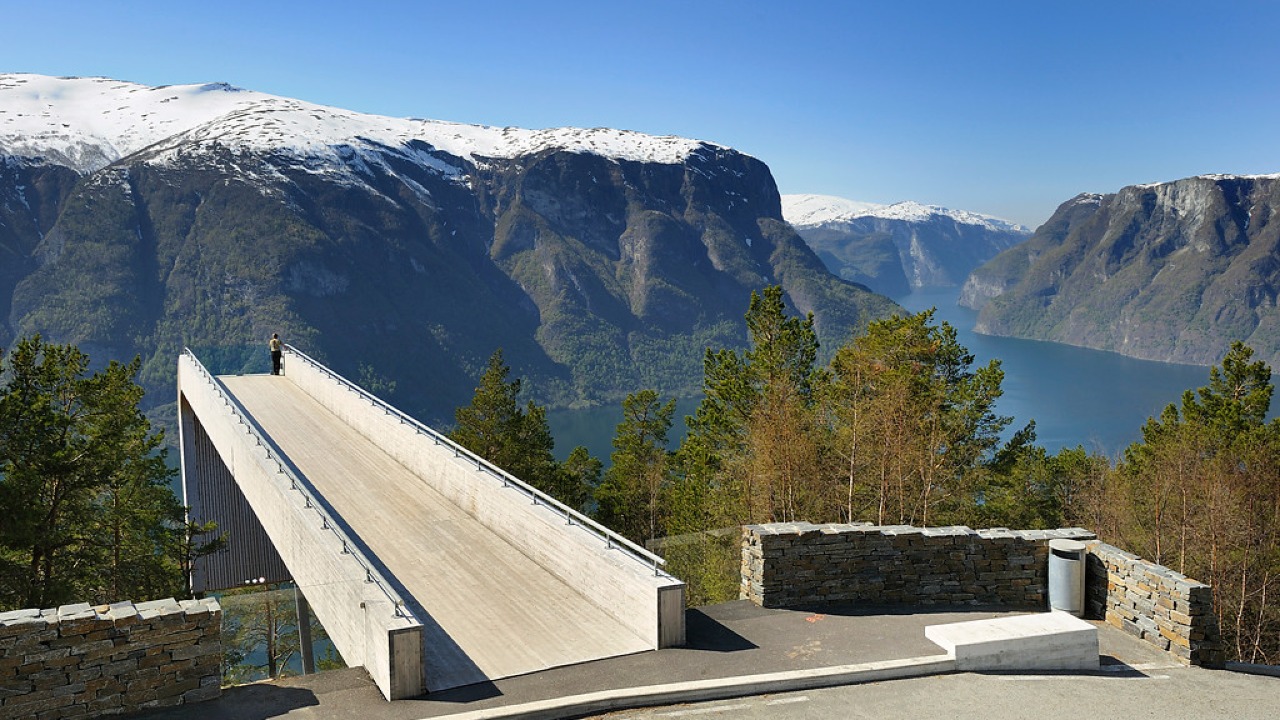
Norwegian Scenic Route Aurlandsfjellet
Norwegian Scenic Route Aurlandsfjellet is a spectacular 47 km mountain road between Aurland and Lærdal, known for dramatic fjord views, high-mountain landscapes and the famous Stegastein viewpoint.
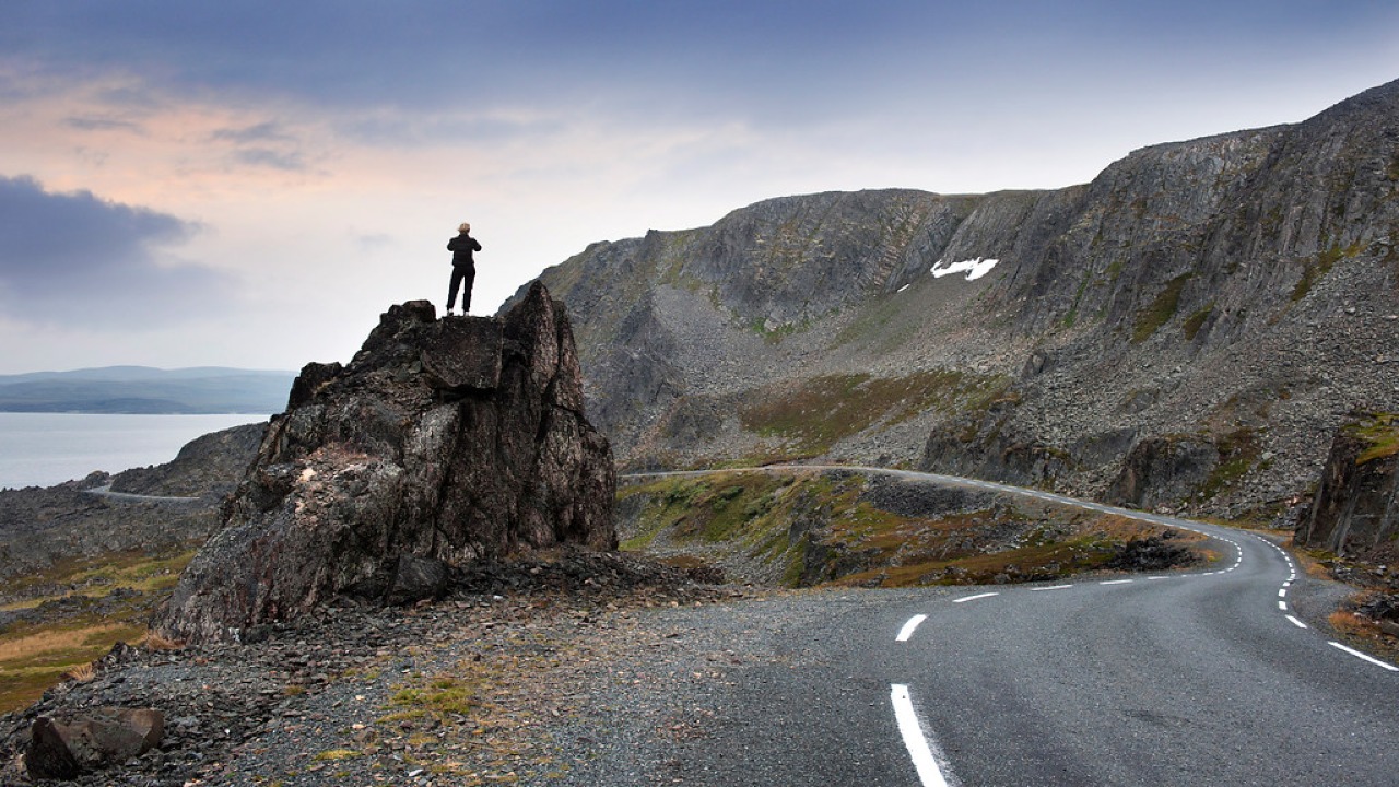
Norwegian Scenic Route Varanger
Norwegian Scenic Route Varanger is a 160 km drive from Varangerbotn to Hamningberg, combining Arctic coastal scenery, distinctive wildlife and a dramatic rocky landscape.
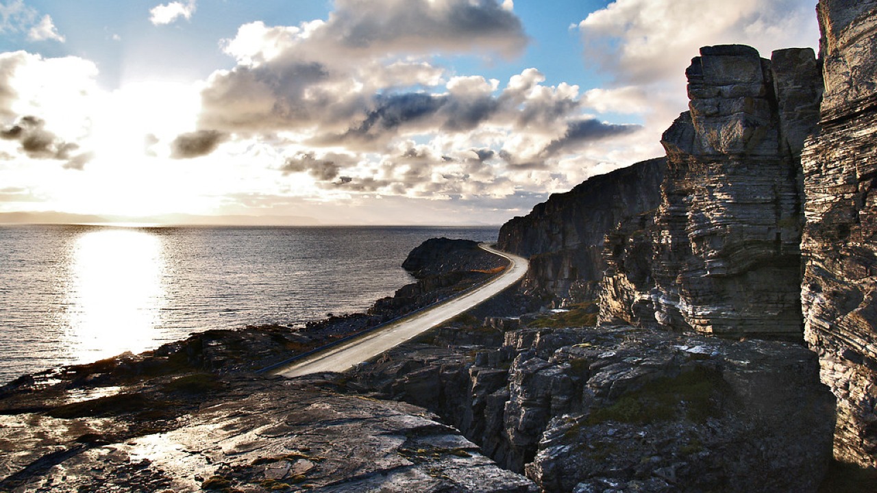
Norwegian Scenic Route Havøysund
Norwegian Scenic Route Havøysund is a 67 km Arctic coastal drive from Kokelv to Havøysund through barren rock landscapes, open sea views and remote Finnmark scenery.