
Norwegian Scenic Route Hardanger
Norwegian Scenic Route Hardanger is a 158 km network of four road sections through fjord landscapes, waterfalls, glaciers, orchards and historic tourism areas.
- Frid-Jorunn Stabell
- Roger Ellingsen, Statens vegvesen
- Frid-Jorunn Stabell, Statens vegvesen
- Jarle Wæhler / Statens vegvesen
- Frid-Jorunn Stabell
Norwegian Scenic Route Hardanger is a 158-kilometre network of four scenic road sections through one of Norway’s classic fjord regions, combining waterfalls, glaciers, orchards, villages and the Hardangerfjord landscape.
Across Norway recommended route
Our recommendation is to start at Skjervsfossen and continue via Granvin, Norheimsund and Odda, ending at Låtefoss.
The official route starts in Granvin and has an official length of 158 km. Our recommended route is approximately 187 km because it starts earlier, at Skjervsfossen.
Hardanger has attracted travellers for generations, and the scenic route passes through landscapes that helped establish the region as one of Norway’s earliest tourism destinations. The road often runs close to steep mountainsides and fjord arms, sometimes passing directly through areas of fruit cultivation.
Spring blossom, powerful waterfalls and views towards glaciers and mountains create a landscape that changes noticeably with the season.
Four route sections
Unlike most Norwegian Scenic Routes, Hardanger is not one continuous road. It consists of four sections: Granvin–Steinsdalsfossen, Norheimsund–Tørvikbygd, Jondal–Utne and Kinsarvik–Låtefoss.
Two ferry crossings are part of the overall journey, linking Tørvikbygd with Jondal and Kinsarvik with Utne and Kvanndal.
Stops along the route
Official stops include Skjervsfossen, Kvanndal, Tyrvefjøra, Steinstøberget, Steinsdalsfossen, Hereiane, Espenes and Låtefossen.
Several of these stops are centred on waterfalls, while others provide access to the fjord landscape and cultural scenery that characterise Hardanger.
Travel information
The scenic route uses roads 79, 49, 550 and 13 and reaches 275 metres above sea level. The main route is open to traffic throughout the year.
Because the route is divided into several sections and includes ferries, it is best planned as a journey through the wider Hardanger region rather than as one direct drive. Allow time for ferry crossings, viewpoints and short stops along the fjord.
Location
Similar listings in category
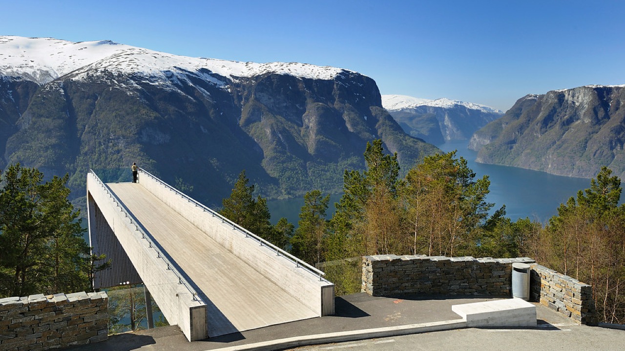
Norwegian Scenic Route Aurlandsfjellet
Norwegian Scenic Route Aurlandsfjellet is a spectacular 47 km mountain road between Aurland and Lærdal, known for dramatic fjord views, high-mountain landscapes and the famous Stegastein viewpoint.
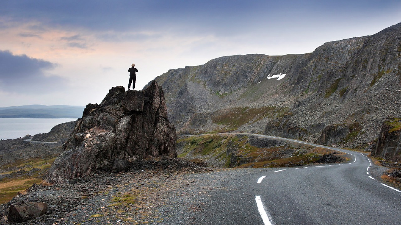
Norwegian Scenic Route Varanger
Norwegian Scenic Route Varanger is a 160 km drive from Varangerbotn to Hamningberg, combining Arctic coastal scenery, distinctive wildlife and a dramatic rocky landscape.
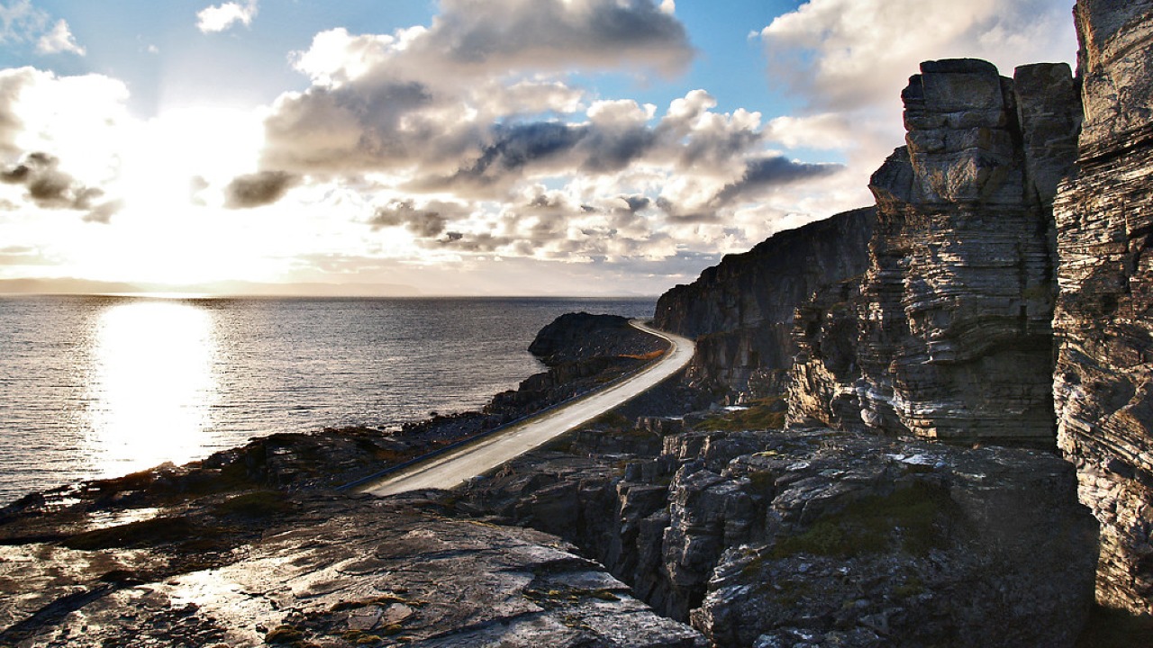
Norwegian Scenic Route Havøysund
Norwegian Scenic Route Havøysund is a 67 km Arctic coastal drive from Kokelv to Havøysund through barren rock landscapes, open sea views and remote Finnmark scenery.