
Norwegian Scenic Route Hardangervidda
Norwegian Scenic Route Hardangervidda is a 67 km drive between Eidfjord and Haugastøl, linking Hardangerfjord with the vast Hardangervidda mountain plateau.
- Silja Lena Løken, Statens vegvesen
- Sigmund Krøvel-Velle
- Jarle Wæhler / Statens vegvesen
- Lars Grimsby, Statens vegvesen
- Landskapsarkitekt Bjørbekk & Lindheim Foto: Harald Christian Eiken, Statens vegvesen
- Trine Kanter Zerwekh, Statens vegvesen
Norwegian Scenic Route Hardangervidda is a 67-kilometre drive between Eidfjord and Haugastøl, connecting the Hardangerfjord with the vast mountain plateau of Hardangervidda.
Across Norway recommended route
Our recommended route is to start in Eidfjord and drive east towards Haugastøl. The route is defined by a dramatic transition between two very different landscapes. From the open high mountain plateau, the road descends towards Western Norway through the steep and narrow Måbødalen valley before reaching Eidfjord at the head of the Hardangerfjord.
One of the route’s major highlights is Vøringsfossen, where the waterfall and surrounding gorge form a natural gateway between the mountain plateau and the fjord landscape.
Stops along the route
Official scenic-route stops include Vardestopp, Ørteren, Vøringsfossen and Måbø Bridge rest area.
These stops reflect the changing character of the route: open mountain terrain in the east and increasingly steep valleys and dramatic geology towards the west.
Travel information
Norwegian Scenic Route Hardangervidda follows road 7 between Haugastøl and Eidfjord and reaches approximately 1,250 metres above sea level.
The route is open to traffic throughout the year, but mountain weather can change quickly even outside winter.
Winter driving
During winter, strong winds and heavy snow can lead to temporary road closures or convoy driving behind snowploughs across the mountain plateau. Travellers should always check current road and weather conditions before crossing Hardangervidda in winter.
Even in summer, the exposed plateau can experience rapid weather changes. The contrast between the wide mountain landscape, Vøringsfossen and the descent to Eidfjord makes this relatively short route one of Norway’s most varied scenic drives.
Location
Similar listings in category
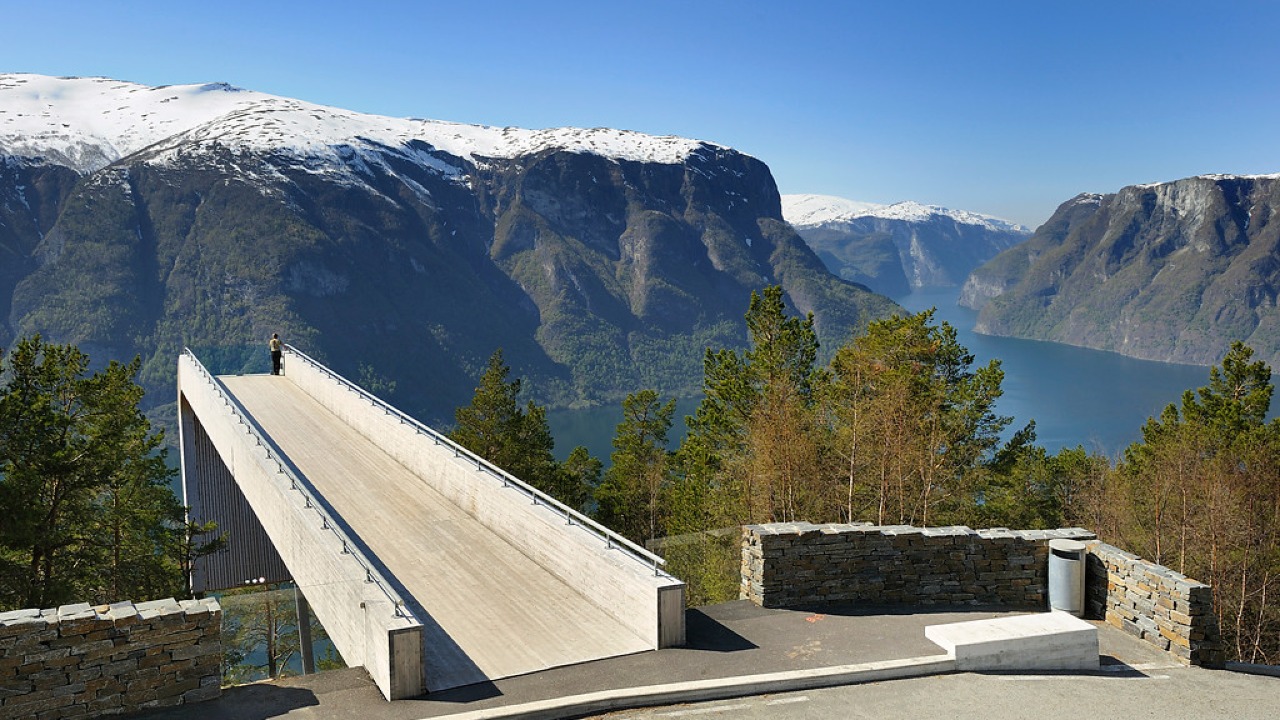
Norwegian Scenic Route Aurlandsfjellet
Norwegian Scenic Route Aurlandsfjellet is a spectacular 47 km mountain road between Aurland and Lærdal, known for dramatic fjord views, high-mountain landscapes and the famous Stegastein viewpoint.
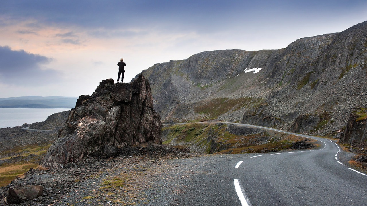
Norwegian Scenic Route Varanger
Norwegian Scenic Route Varanger is a 160 km drive from Varangerbotn to Hamningberg, combining Arctic coastal scenery, distinctive wildlife and a dramatic rocky landscape.
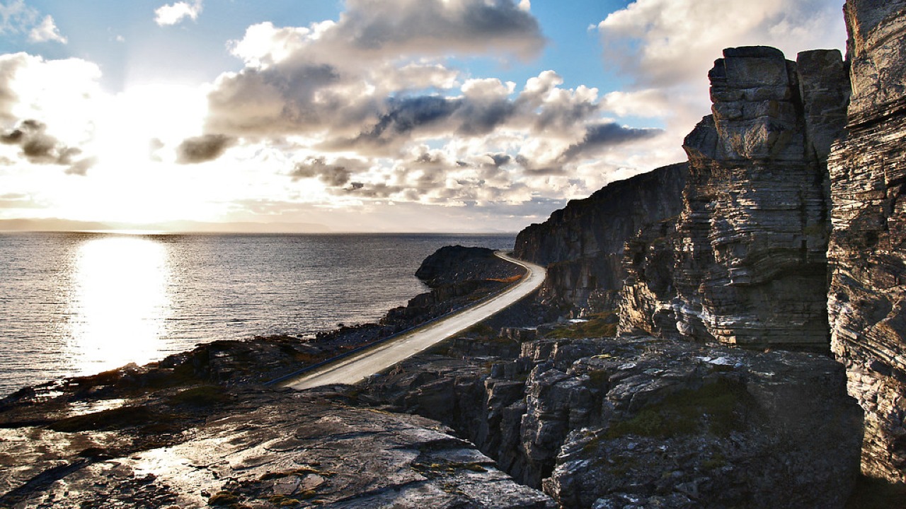
Norwegian Scenic Route Havøysund
Norwegian Scenic Route Havøysund is a 67 km Arctic coastal drive from Kokelv to Havøysund through barren rock landscapes, open sea views and remote Finnmark scenery.