
Norwegian Scenic Route Helgelandskysten
Norwegian Scenic Route Helgelandskysten is a 433 km coastal journey between Holm and Godøystraumen, with six ferries, islands, mountains, glaciers and Arctic Circle scenery.
- Landskapsarkitekt: Inge Dahlman, Asplan Viak AS Foto: Steinar Skaar
- Steinar Skaar / Statens vegvesen
- Helgelandsbrua. Steinar Skaar, Statens vegvesen
- Steinar Skaar, Statens vegvesen
- Steinar Skaar / Statens vegvesen
- Jarle Wæhler / Statens vegvesen
Norwegian Scenic Route Helgelandskysten is a 433-kilometre journey between Holm and Godøystraumen, following the coast through islands, fjords, mountains, glaciers and a rich cultural landscape. It is the longest of Norway’s 18 Scenic Routes.
Across Norway recommended route
For the best experience, we recommend driving the Norwegian Scenic Route Helgelandskysten from south to north, starting at Holm and following the spectacular coastal road towards Godøystraumen, in the direction of Bodø.
The character of the landscape changes repeatedly along the way. In the north, long mountain ranges dominate the horizon, while further south the road passes fjords, islands, skerries and softer coastal landscapes. The route stays close to the sea for much of the journey and offers an alternative to the inland E6.
Six ferry crossings are part of the route, making the journey itself a combination of driving and travelling by sea. Between Jektvik and Kilboghamn, the ferry crosses the Arctic Circle at 66 degrees north.
Stops and highlights
Official stops include Godøystraumen, Storvika, Ureddplassen, Braset, Jektvik, Grønsvik coastal fort, Hellåga, Trælvikosen, Torghatten and Sundshopen.
The route also provides access to many islands through local ferries and express boats, making it possible to extend the journey with coastal detours.
Travel information
Norwegian Scenic Route Helgelandskysten runs from Holm to Godøystraumen, mainly along road 17, with a detour to Torghatten. The route reaches 346 metres above sea level.
The six required ferry crossings are Holm–Vennesund, Horn–Anddalsvågen, Forvik–Tjøtta, Levang–Nesna, Kilboghavn–Jektvik and Ågskardet–Forøy. Ferry schedules should be checked when planning the trip.
Plan more than one day
Because of the length, ferry crossings and number of possible stops, this is a scenic route where it is especially important to allow plenty of time. The changing landscape is a central part of the experience, and the journey is best treated as a coastal road trip rather than a fast connection between north and south.
Location
Similar listings in category
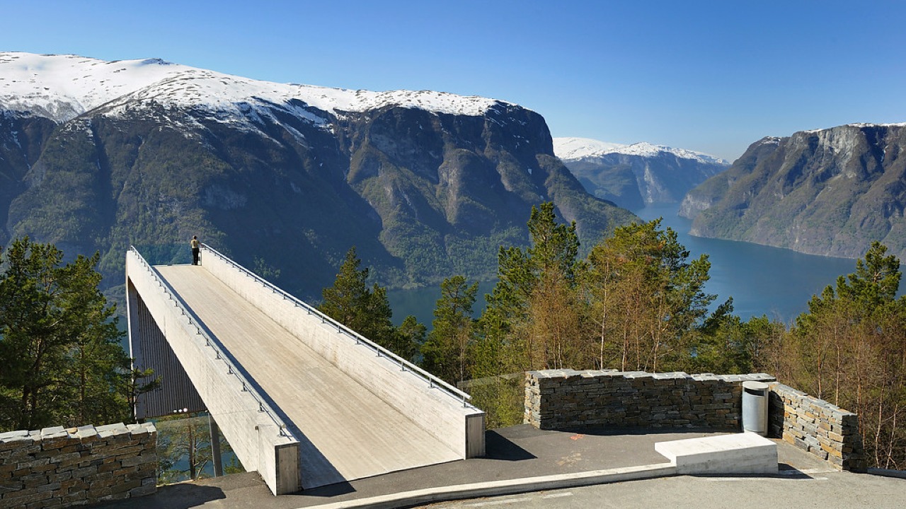
Norwegian Scenic Route Aurlandsfjellet
Norwegian Scenic Route Aurlandsfjellet is a spectacular 47 km mountain road between Aurland and Lærdal, known for dramatic fjord views, high-mountain landscapes and the famous Stegastein viewpoint.
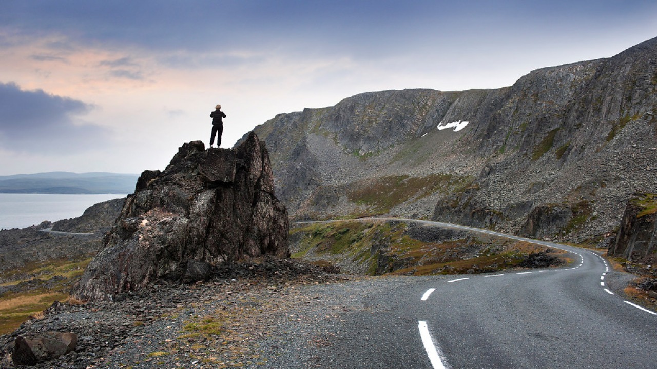
Norwegian Scenic Route Varanger
Norwegian Scenic Route Varanger is a 160 km drive from Varangerbotn to Hamningberg, combining Arctic coastal scenery, distinctive wildlife and a dramatic rocky landscape.
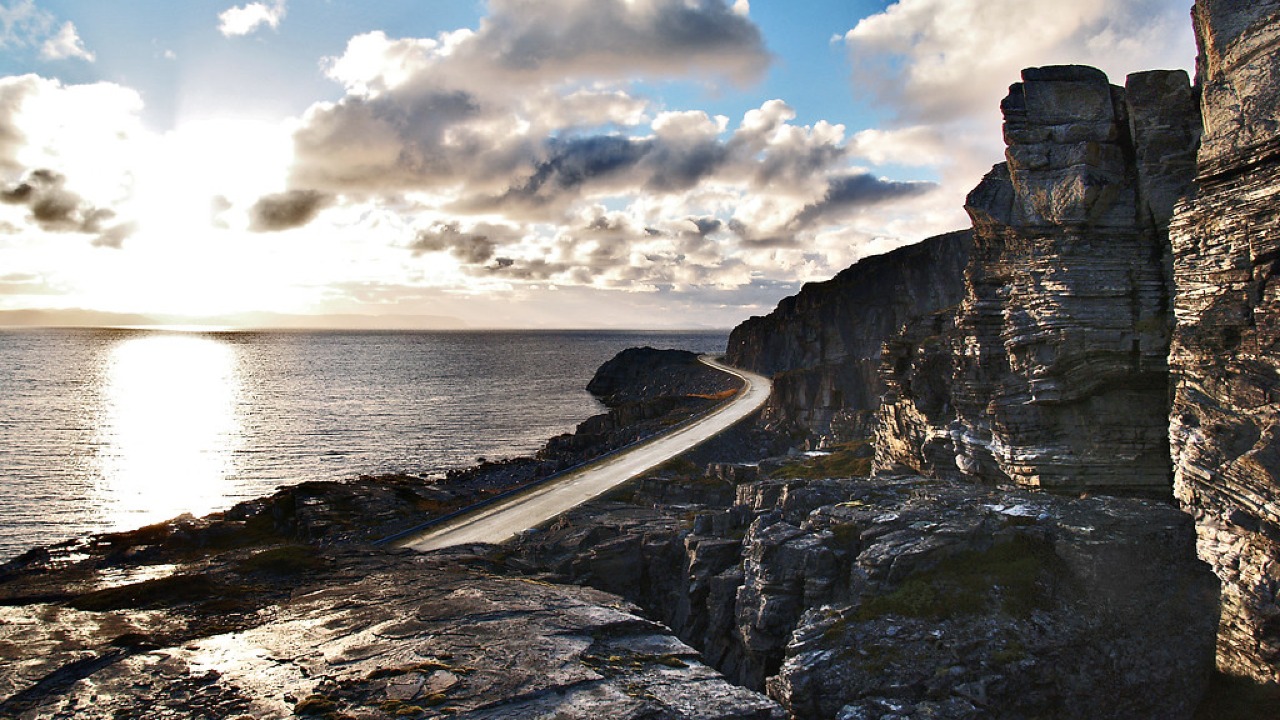
Norwegian Scenic Route Havøysund
Norwegian Scenic Route Havøysund is a 67 km Arctic coastal drive from Kokelv to Havøysund through barren rock landscapes, open sea views and remote Finnmark scenery.