
Norwegian Scenic Route Jæren
Norwegian Scenic Route Jæren is a 130 km coastal drive from Flekkefjord to Bore through open cultural landscapes, beaches, lighthouses and small coastal towns.
- Helge Stikbakke, Statens vegvesen
- Fredrik Fløgstad, Statens vegvesen
- Arkitekt: Lie Øyen arkitekter. Foto: Fredrik Fløgstad
- Roger Ellingsen, Statens vegvesen
- Helge Stikbakke, Statens vegvesen
Norwegian Scenic Route Jæren is a 130-kilometre coastal drive between Flekkefjord and Bore, passing open farmland, long beaches, lighthouses and small coastal communities beside the North Sea.
Across Norway recommended route
We recommend starting the drive in Flekkefjord and driving northwest towards Bore, with a detour via Sogndalstrand.
Jæren is very different from Norway’s mountain-based scenic routes. The landscape is broad and open, with a high sky, long horizons and few natural barriers between the road and the sea. Agricultural land, stone fences, beaches and coastal settlements create a cultural landscape shaped by both farming and the North Sea.
The route is an ordinary road used by local traffic, so many of the strongest experiences are found by stopping frequently or exploring the smaller side roads towards the coast.
Beaches, lighthouses and coastal towns
Official scenic-route stops include Borestranda, Orrestranda, Refsnesstranda, Madland harbour and Friluftsfyret Kvassheim.
A detour to Sogndalsstranda adds a historic coastal settlement to the journey, while Kvassheim lighthouse is another worthwhile stop along the Jæren coast.
Travel information
Norwegian Scenic Route Jæren runs from Flekkefjord to Bore on roads 44 and 507, with a detour to Sogndalsstranda on road 4248. The route ranges from sea level to 274 metres above sea level.
Strong winds are common in this exposed coastal landscape, and the experience can change significantly with the weather.
Take the side roads
Jæren is best experienced slowly. Rather than focusing only on the main road, allow time for detours to beaches, harbours and viewpoints. The combination of cultivated land, open sea and historic coastal communities gives this route a character that is unlike any of the high-mountain scenic roads elsewhere in Norway.
Location
Similar listings in category
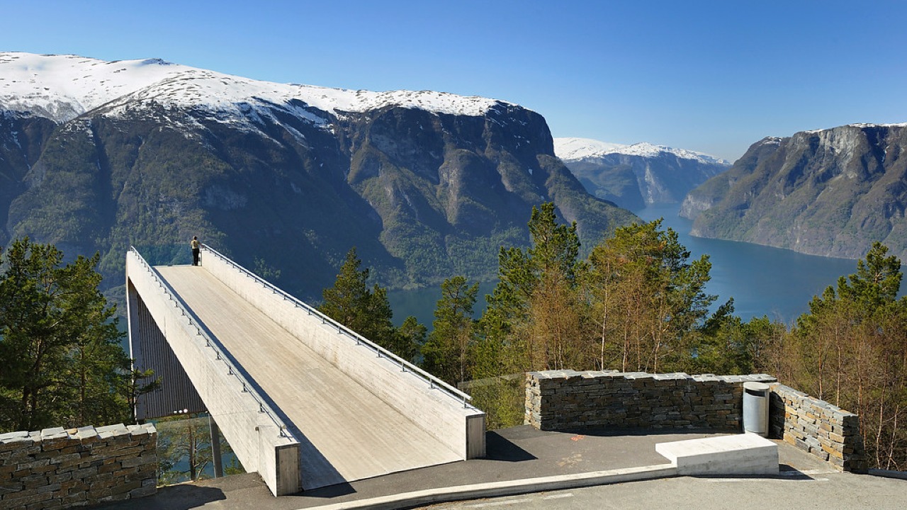
Norwegian Scenic Route Aurlandsfjellet
Norwegian Scenic Route Aurlandsfjellet is a spectacular 47 km mountain road between Aurland and Lærdal, known for dramatic fjord views, high-mountain landscapes and the famous Stegastein viewpoint.
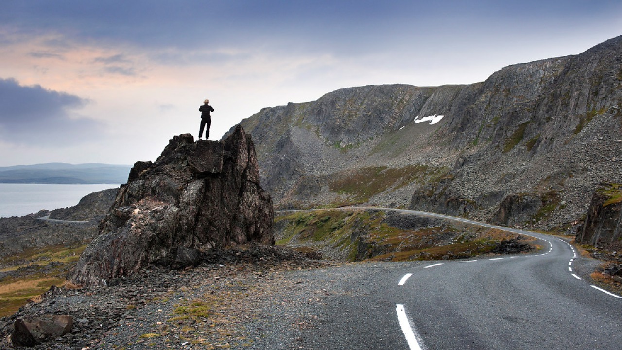
Norwegian Scenic Route Varanger
Norwegian Scenic Route Varanger is a 160 km drive from Varangerbotn to Hamningberg, combining Arctic coastal scenery, distinctive wildlife and a dramatic rocky landscape.
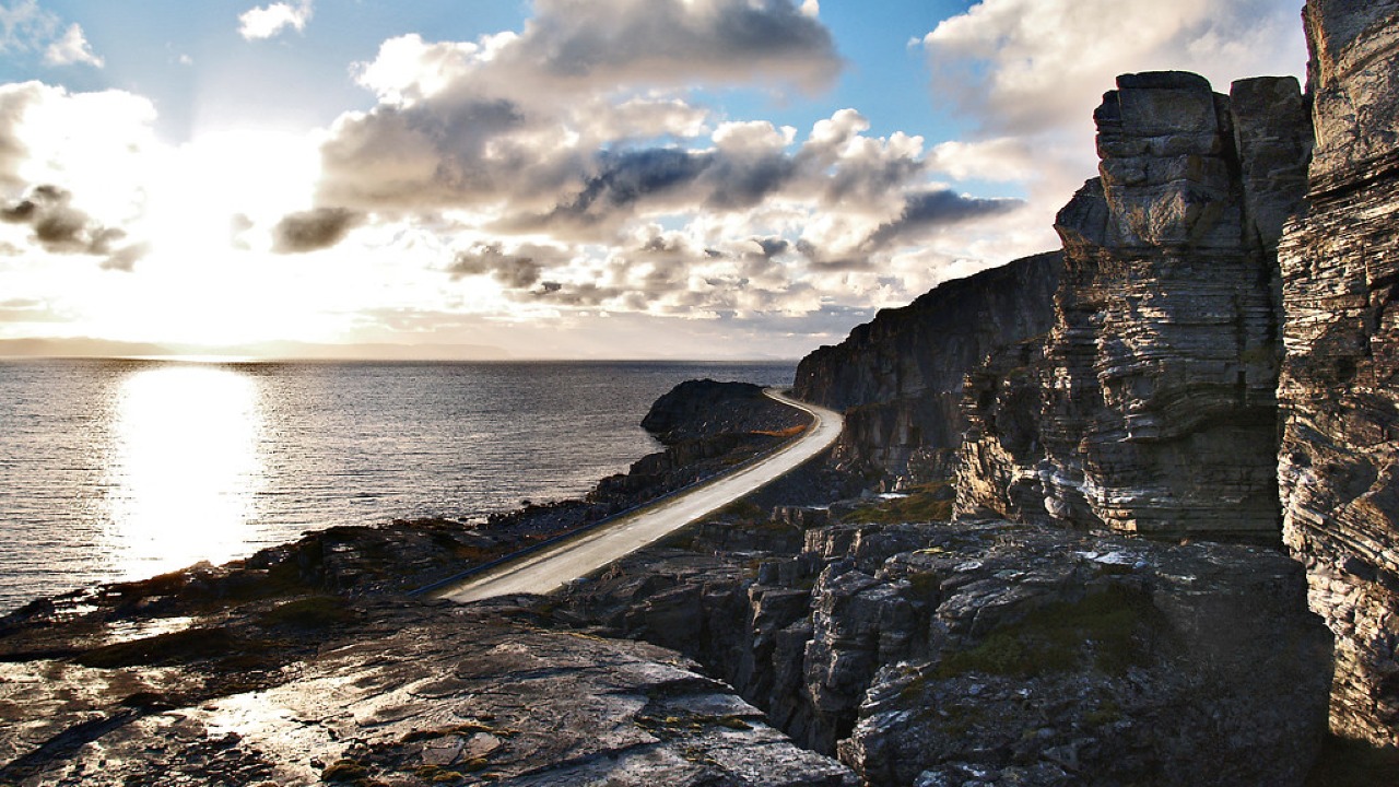
Norwegian Scenic Route Havøysund
Norwegian Scenic Route Havøysund is a 67 km Arctic coastal drive from Kokelv to Havøysund through barren rock landscapes, open sea views and remote Finnmark scenery.