
Norwegian Scenic Route Lofoten
Norwegian Scenic Route Lofoten is a 230 km journey between Raftsundet and Å through jagged mountains, fishing villages, white beaches and Arctic coastal scenery.
- Reine i Moskenes. Foto: Steinar Skaar, Statens vegvesen
- Trine Kanter Zerwekh, Statens vegvesen
- Steinar Skaar, Statens vegvesen
- Gimsøystraumen. Foto: Jarle Wæhler / Statens vegvesen
- Landskapsarkitekt: agraff as. ©Foto: Steinar Skaar / Statens vegvesen
- Steinar Skaar, Statens vegvesen
Norwegian Scenic Route Lofoten is a 230-kilometre journey between Raftsundet and Å through one of Norway’s best-known coastal landscapes, combining sharp mountain peaks, sheltered fishing villages, white beaches and clear Arctic waters.
Across Norway recommended route
For the best experience, we recommend starting the drive at Raftsundet and following the spectacular Lofoten landscape southwest towards Å, with scenic detours to places such as Henningsvær, Eggum and Nusfjord.
The road follows the Lofoten archipelago through scenery that changes constantly. In some places the mountains rise steeply from the sea, while elsewhere the road passes open beaches, small harbours and traditional fishing communities. The contrast between dramatic peaks and calm sheltered bays is one of the defining features of the route.
Lofoten can be experienced throughout the year. The official Scenic Routes guide highlights that winter can be just as beautiful as summer, and the Arctic winter offers excellent opportunities to experience the northern lights above the coastal landscape.
Detours and stops
The scenic route includes detours to Nusfjord, Vikten, Utakleiv, Unstad, Eggum, Henningsvær and Grunnfør. These side trips are an important part of the route and provide access to beaches, fishing villages and coastal landscapes away from the E10.
Official rest areas and viewpoints include Reinehalsen, Rambergstranda, Hauklandstranda, Eggum, Torvdalshalsen, Gimsøystraumen, Austnesfjorden and Grunnfør, among others.
Travel information
The main scenic route runs from Raftsundet to Å on the E10, with several signed detours, and reaches a maximum elevation of 59 metres above sea level.
It is possible to drive the route without using ferries. However, ferry connections provide alternative approaches to Lofoten from Bodø, Skutvik, Lødingen and Melbu.
Allow plenty of time
The distance can be covered in a day, but Lofoten rewards a much slower pace. Beaches, viewpoints, fishing villages and detours are spread along the entire route, and traffic can be heavy during the main summer season. Plan time for stops and short side trips rather than focusing only on the distance between Raftsundet and Å.
Location
Similar listings in category
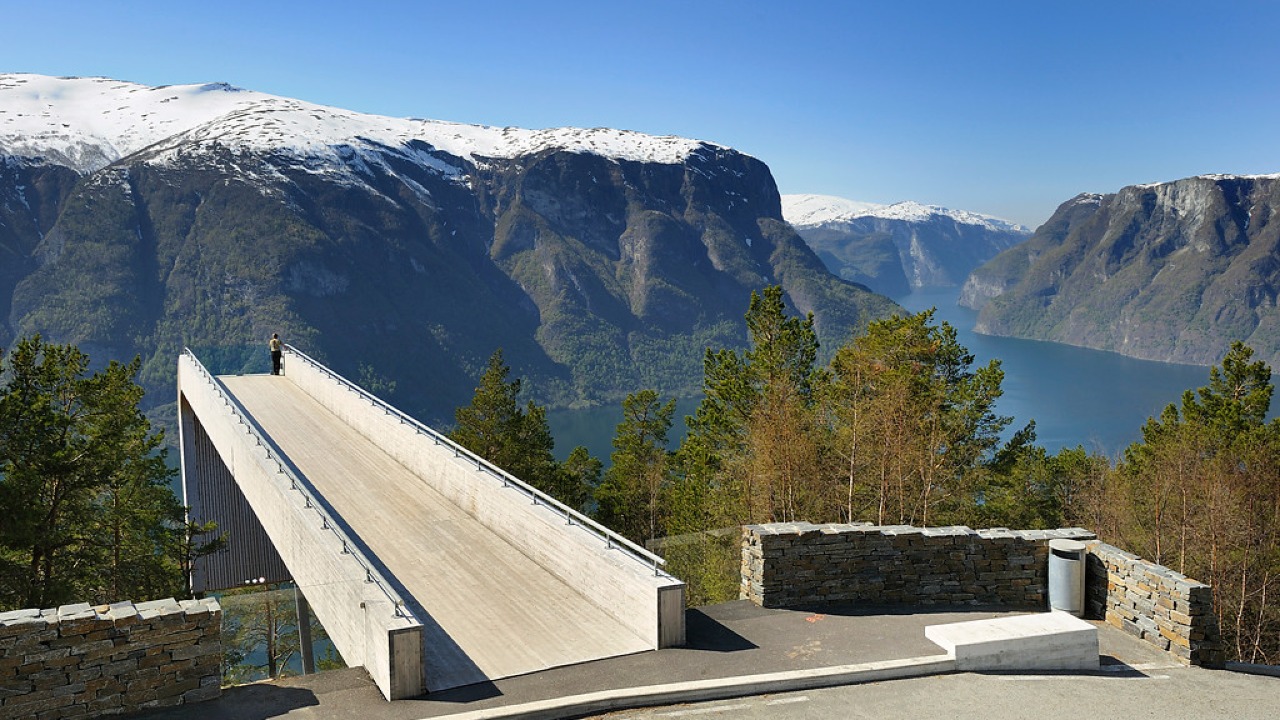
Norwegian Scenic Route Aurlandsfjellet
Norwegian Scenic Route Aurlandsfjellet is a spectacular 47 km mountain road between Aurland and Lærdal, known for dramatic fjord views, high-mountain landscapes and the famous Stegastein viewpoint.
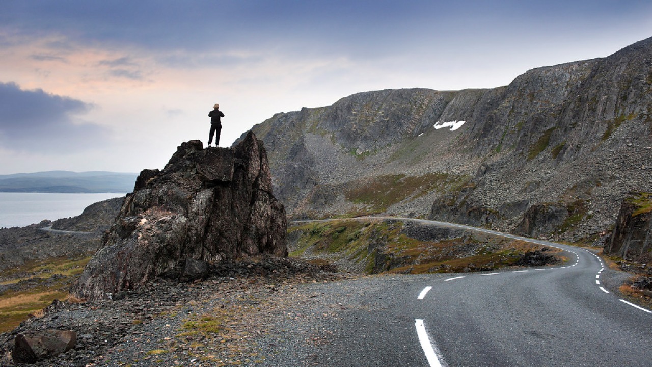
Norwegian Scenic Route Varanger
Norwegian Scenic Route Varanger is a 160 km drive from Varangerbotn to Hamningberg, combining Arctic coastal scenery, distinctive wildlife and a dramatic rocky landscape.
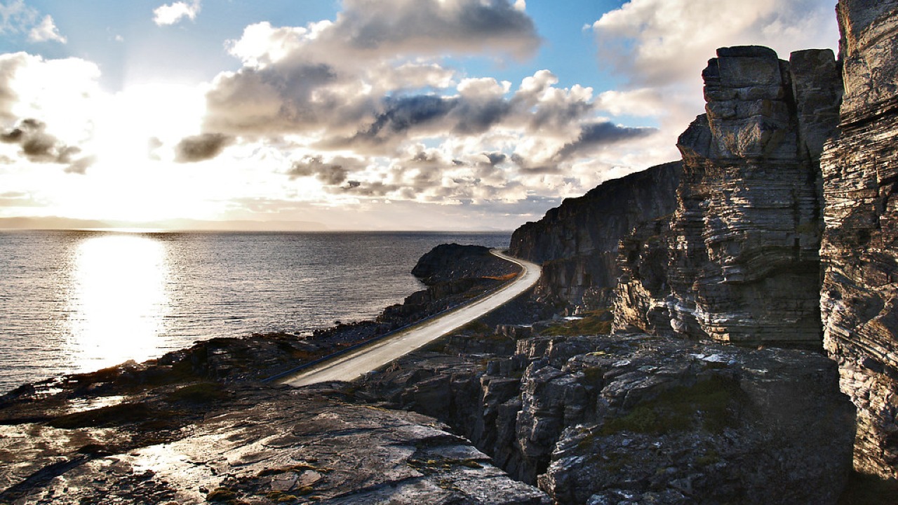
Norwegian Scenic Route Havøysund
Norwegian Scenic Route Havøysund is a 67 km Arctic coastal drive from Kokelv to Havøysund through barren rock landscapes, open sea views and remote Finnmark scenery.