
Norwegian Scenic Route Rondane
Norwegian Scenic Route Rondane is a 75 km drive beside Rondane National Park, combining high mountain scenery with old cultural landscapes and accessible viewpoints.
- Jarle Wæhler / Statens vegvesen
- Silja Lena Løken, Statens vegvesen
- Arkitekt: Carl-Viggo Hølmebakk. ©Foto: Helge Stikbakke, Statens vegvesen
- Werner Harstad, Statens vegvesen
- Hilde Margaret Strangstadstuen, Statens vegvesen
Norwegian Scenic Route Rondane is a 75-kilometre drive through the borderland between high mountains and old cultural landscapes, with close views towards Rondane National Park.
Across Norway recommended route
We recommend starting the drive at Venabygdsfjellet and heading north to Folldal, with a detour to Sollia Church and Enden.
The route follows a landscape that changes gradually rather than dramatically. Broad valleys, mountain farms and open terrain lead towards the distinctive peaks of Rondane, several of which rise above 2,000 metres. The slower rhythm of the scenery is part of the experience, giving the route a calm and spacious character.
Rondane has long inspired Norwegian artists and writers, and the combination of high mountains, low winter light and open landscapes remains one of the defining qualities of the area.
Stops along the route
Official stops include Atnbrufossen Waterworks Museum, Sohlbergplassen, Kjøllen, Strømbu and Folldal mines.
Sohlbergplassen is one of the route’s best-known viewpoints and frames the Rondane mountains from the road. Strømbu provides another important stopping point and access to the surrounding mountain landscape.
Travel information
Norwegian Scenic Route Rondane runs between Folldal and Venabygdsfjellet on road 27, with an additional section from Sollia Church to Enden on road 219. The route ranges from about 700 to 1,060 metres above sea level.
Unlike several of Norway’s high-mountain scenic roads, Rondane is open to traffic throughout the year, although winter weather can still affect driving conditions.
A route for a slower pace
Rondane is well suited to travellers who want to combine driving with short walks, cultural stops and views towards the national park. The route is not about one single dramatic attraction; its strength lies in the continuity of the mountain landscape and the close relationship between nature and long-established settlement.
Location
Similar listings in category
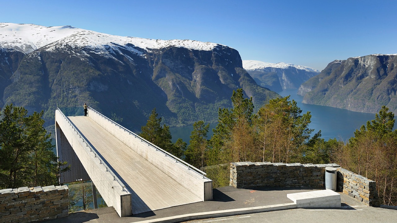
Norwegian Scenic Route Aurlandsfjellet
Norwegian Scenic Route Aurlandsfjellet is a spectacular 47 km mountain road between Aurland and Lærdal, known for dramatic fjord views, high-mountain landscapes and the famous Stegastein viewpoint.
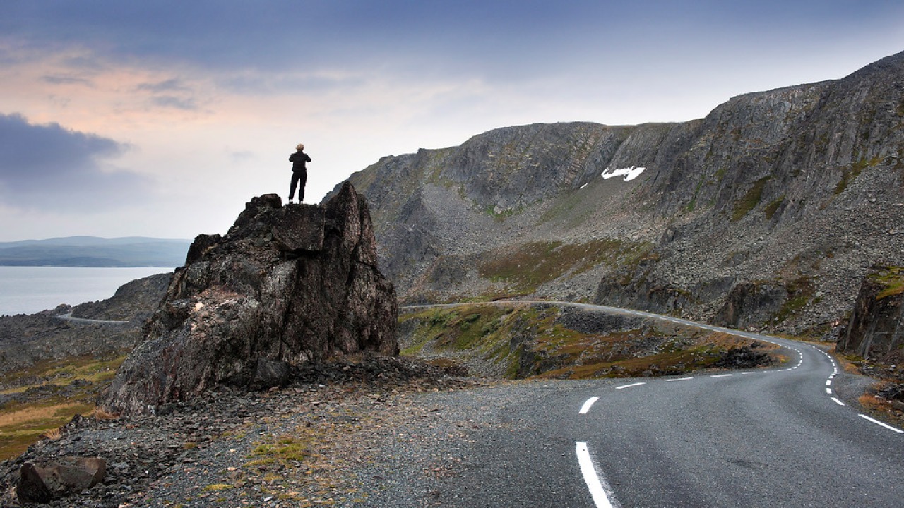
Norwegian Scenic Route Varanger
Norwegian Scenic Route Varanger is a 160 km drive from Varangerbotn to Hamningberg, combining Arctic coastal scenery, distinctive wildlife and a dramatic rocky landscape.
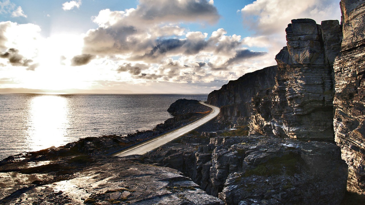
Norwegian Scenic Route Havøysund
Norwegian Scenic Route Havøysund is a 67 km Arctic coastal drive from Kokelv to Havøysund through barren rock landscapes, open sea views and remote Finnmark scenery.