
Norwegian Scenic Route Ryfylke
Norwegian Scenic Route Ryfylke is a 260 km journey through fjords and mountains between Oanes, Sauda, Røldal and Håra, with two sea crossings.
- Helge Stikbakke, Statens vegvesen
- Arkitekt: Haga Grov/ Helge Schelderup. Foto: Frid-Jorunn Stabell
- Arkitekt: Haga Grov / Helge Schjelderup ©Foto: Per Kollstad / Statens vegvesen
- Jarle Wæhler / Statens vegvesen
- Landskapsarkitekt: ATSITE. Foto: Tonje Tjernet, Statens vegvesen
- Helge Stikbakke / Statens vegvesen
Norwegian Scenic Route Ryfylke is a 260-kilometre journey through fjords and mountains, linking the Lysefjord area with Sauda, Røldal and Håra through one of southwestern Norway’s most varied landscapes.
Across Norway recommended route
We recommend driving from Oanes via Sauda to Håra near Røldal. This route includes some of the most spectacular mountain scenery on the Norwegian Scenic Route Ryfylke. The alternative route through Suldal is also part of the scenic route.
The route moves between very different environments. Deep fjords and green hillsides give way to steep mountains and exposed highland terrain, while the road through Saudafjellet has a particularly rugged and dramatic character.
Because the route is long and divided into several sections, it offers many opportunities for short detours and stops. Small fjord communities, industrial history and high mountain scenery all form part of the same journey.
Stops along the route
Official scenic-route stops include Høllesli, Lovra, Høse Bridge, Juvo, Flesefossen, Ostasteidn, Ropeid, Svandalsfossen and Allmannajuvet.
These stops range from fjord viewpoints and waterfalls to architecture and cultural history. Allmannajuvet is connected to Sauda’s mining history, while Svandalsfossen brings visitors close to one of the route’s waterfalls.
Travel information
The scenic route runs between Oanes at Lysefjorden and Håra near Røldal, using roads 46, 520, 13 and 523. From Håra, the route divides into two alternatives before reconnecting, creating the possibility of a round trip.
The route includes ferry crossings, including Nesvik–Hjelmeland and the connection between Lauvvika and Oanes.
Seasonal mountain road
The mountain section between Helandsbygd and Røldal on road 520 is closed during winter. Other mountain sections are narrow and have many bends, so allow extra time and check road conditions.
Ryfylke is best treated as a multi-stop journey rather than a fast drive. Its strength lies in the contrast between fjord, village, waterfall and high mountain terrain.
Location
Similar listings in category
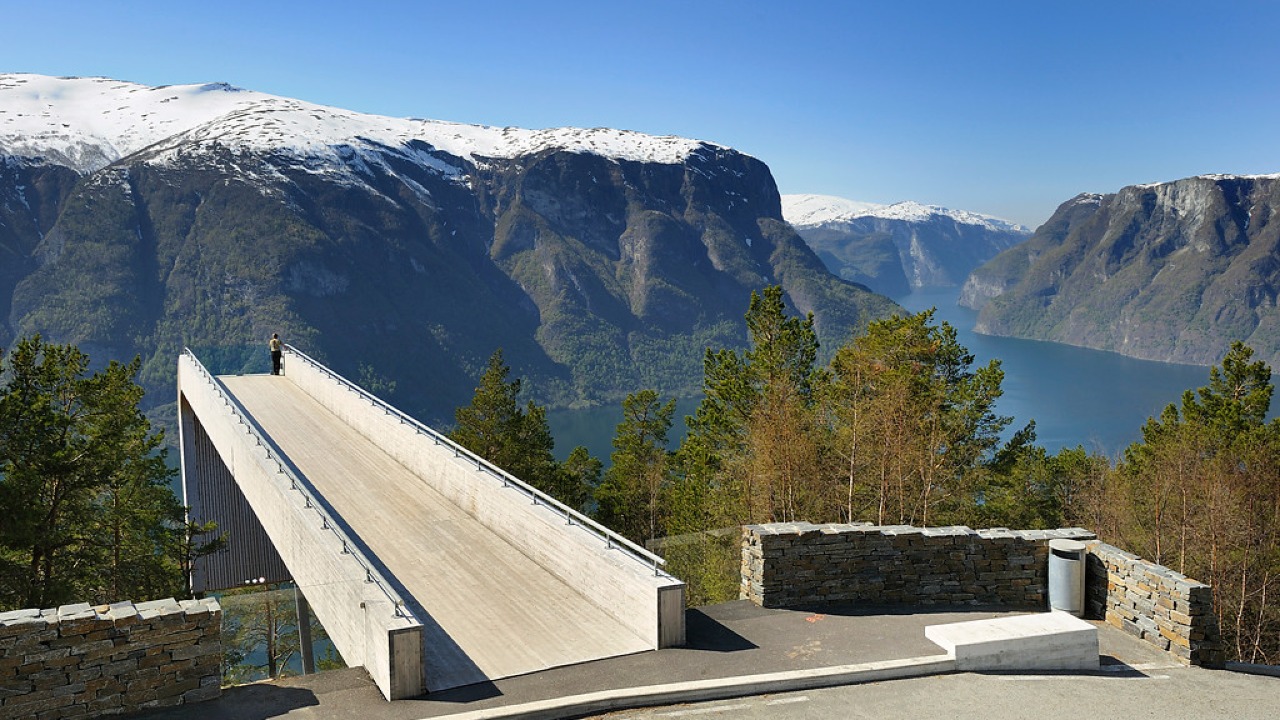
Norwegian Scenic Route Aurlandsfjellet
Norwegian Scenic Route Aurlandsfjellet is a spectacular 47 km mountain road between Aurland and Lærdal, known for dramatic fjord views, high-mountain landscapes and the famous Stegastein viewpoint.
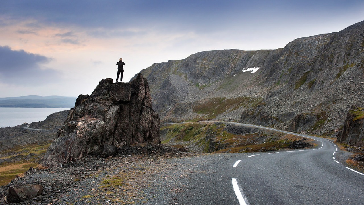
Norwegian Scenic Route Varanger
Norwegian Scenic Route Varanger is a 160 km drive from Varangerbotn to Hamningberg, combining Arctic coastal scenery, distinctive wildlife and a dramatic rocky landscape.
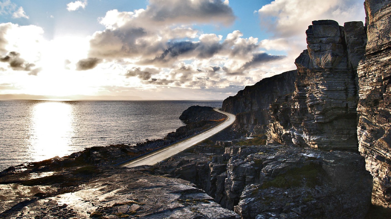
Norwegian Scenic Route Havøysund
Norwegian Scenic Route Havøysund is a 67 km Arctic coastal drive from Kokelv to Havøysund through barren rock landscapes, open sea views and remote Finnmark scenery.