
Norwegian Scenic Route Sognefjellet
Norwegian Scenic Route Sognefjellet is a 108 km mountain road between Gaupne and Lom, crossing Jotunheimen at Norway’s highest mountain pass at 1,434 metres.
- Werner Harstad
- Landskapsarkitekt: Dronninga Landskap. Foto: Silja Lena Løken
- Roger Ellingsen, Statens vegvesen
- Roger Ellingsen, Statens vegvesen
- Werner Harstad, Statens vegvesen
- Werner Harstad, Statens vegvesen
Norwegian Scenic Route Sognefjellet is a 108-kilometre mountain journey between Gaupne and Lom, crossing Norway’s highest mountain pass and linking the Sognefjord with the high mountains of Jotunheimen.
Across Norway recommended route
We recommend starting the drive in Gaupne and heading northeast over Sognefjellet, before descending into the valley towards Lom.
From the cultural landscape around Lom and Bøverdalen, the road climbs gradually towards the high mountain plateau. The scenery becomes increasingly open and dramatic as the route approaches its highest point at 1,434 metres above sea level.
The road has a long history as a passage through the mountains. Today it offers close views of some of Norway’s highest peaks and a clear transition from inland valleys to the fjord landscape of Western Norway.
Stops along the route
Official stops include Liasanden, Vegaskjelet, Sognefjellshytta, Mefjellet, Oscarshaug and Nedre Oscarshaug.
These viewpoints and rest areas are spread across the mountain section and allow travellers to experience the high-altitude landscape outside the car. The changing light, snowfields and mountain silhouettes are central to the character of the route.
From mountains to fjord
Continuing westwards, the road descends from the exposed mountain plateau towards Lustrafjorden and Gaupne. The contrast is striking: barren mountain terrain gradually gives way to greener slopes and the changing colours of the Sognefjord.
Seasonal road
Norwegian Scenic Route Sognefjellet follows road 55 between Lom and Gaupne. The high mountain section between Rustasætre/Vegaskjelet and Turtagrø is closed during winter.
Opening dates depend on snow and weather conditions, and temporary closures can occur after the seasonal opening. Check current road information before travelling early or late in the season.
Sognefjellet is a route where the elevation is a major part of the experience. Allow time for stops and for rapidly changing mountain weather.
Location
Similar listings in category
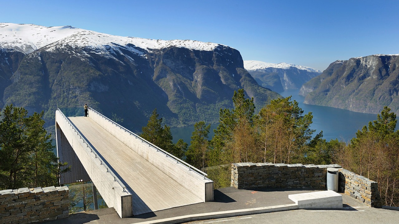
Norwegian Scenic Route Aurlandsfjellet
Norwegian Scenic Route Aurlandsfjellet is a spectacular 47 km mountain road between Aurland and Lærdal, known for dramatic fjord views, high-mountain landscapes and the famous Stegastein viewpoint.
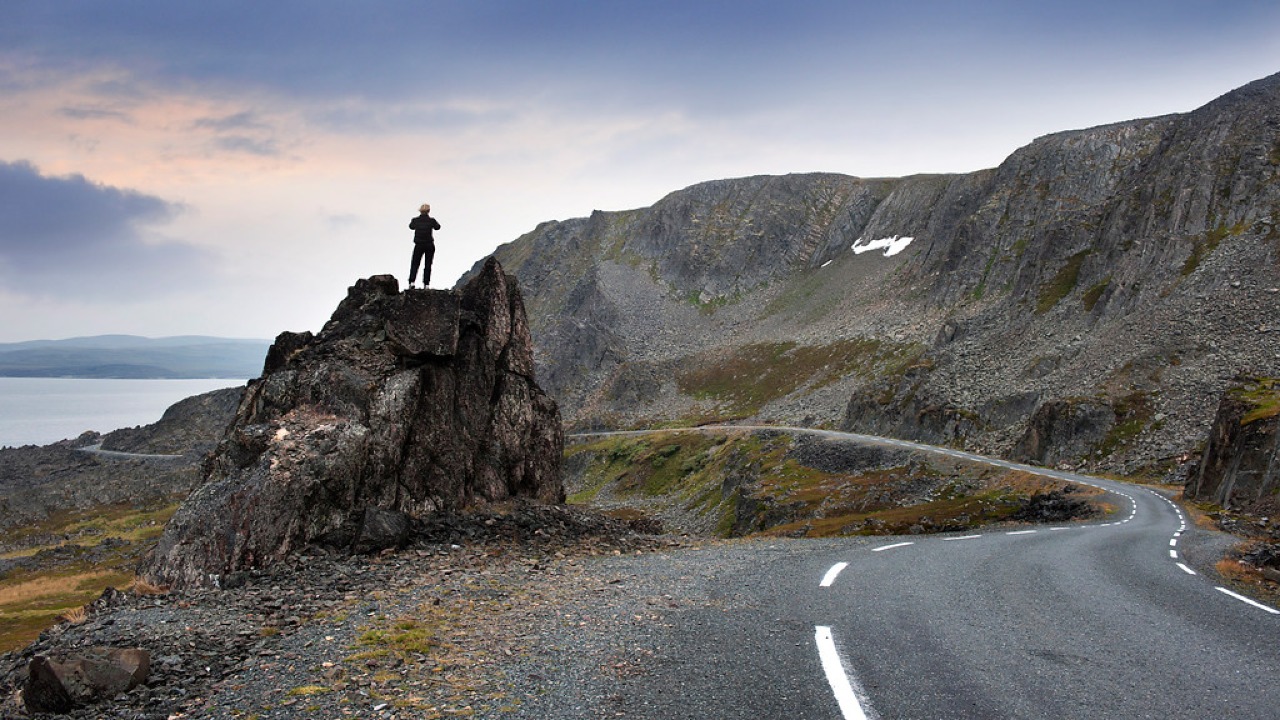
Norwegian Scenic Route Varanger
Norwegian Scenic Route Varanger is a 160 km drive from Varangerbotn to Hamningberg, combining Arctic coastal scenery, distinctive wildlife and a dramatic rocky landscape.
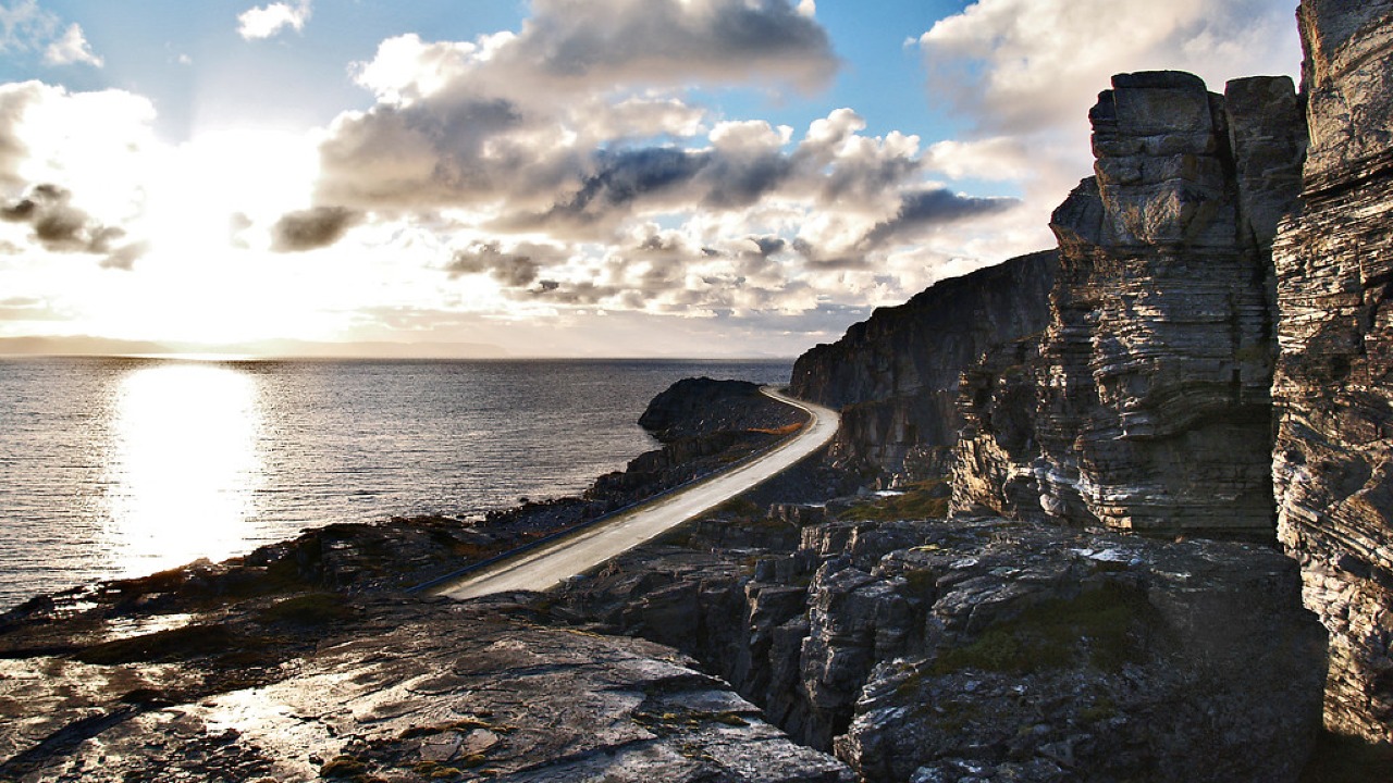
Norwegian Scenic Route Havøysund
Norwegian Scenic Route Havøysund is a 67 km Arctic coastal drive from Kokelv to Havøysund through barren rock landscapes, open sea views and remote Finnmark scenery.