
Norwegian Scenic Route Valdresflye
Norwegian Scenic Route Valdresflye is a 49 km high-mountain drive between Garli and Hindsæter, with panoramic views towards Jotunheimen and a detour to Gjende.
- Jarle Wæhler / Statens vegvesen
- Silja Lena Løken, Statens vegvesen
- Jarle Wæhler / Statens vegvesen
- Arkitekt: Knut Hjeltnes sivilarkitekter mnal AS.- Foto: Frid-Jorunn Stabell
- Jarle Wæhler / Statens vegvesen
Norwegian Scenic Route Valdresflye is a 49-kilometre high-mountain drive between Garli and Hindsæter, crossing an open plateau at the gateway to Jotunheimen National Park.
Across Norway recommended route
We recommend starting the drive at Beitostølen/Garli and heading north towards Hindsæter, with a detour to Gjende.
Much of the road lies above the tree line, giving unusually wide views across the surrounding mountains. Instead of following a narrow valley, the road sweeps across open terrain in long curves, creating the feeling of travelling on top of the landscape.
At the highest point, 1,389 metres above sea level, the road is surrounded by a broad mountain plateau with views towards many of the peaks of Jotunheimen.
Stops along the route
Official scenic-route stops include Gjende, Vargebakkane, Steinplassen, Flye 1389 and Rjupa.
The detour to Gjende brings travellers closer to one of the best-known gateways into Jotunheimen, while the stops on the plateau provide opportunities to experience the open high-mountain landscape directly.
Travel information
The route runs between Garli and Hindsæter on road 51, with a detour to Gjende. Elevation ranges from approximately 890 to 1,389 metres above sea level.
The open landscape can be exposed to strong winds and rapidly changing weather. Even in summer, conditions on the plateau may be very different from those in the valleys below.
Seasonal road
The high section between Garli and Maurvangen is closed during winter. The opening depends on snow clearing and weather conditions, so travellers planning a trip in spring or autumn should check current road information.
Valdresflye also forms part of several possible round trips through the mountain areas of Eastern Norway and can be used as a scenic alternative when travelling north.
Location
Similar listings in category
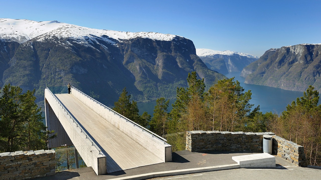
Norwegian Scenic Route Aurlandsfjellet
Norwegian Scenic Route Aurlandsfjellet is a spectacular 47 km mountain road between Aurland and Lærdal, known for dramatic fjord views, high-mountain landscapes and the famous Stegastein viewpoint.
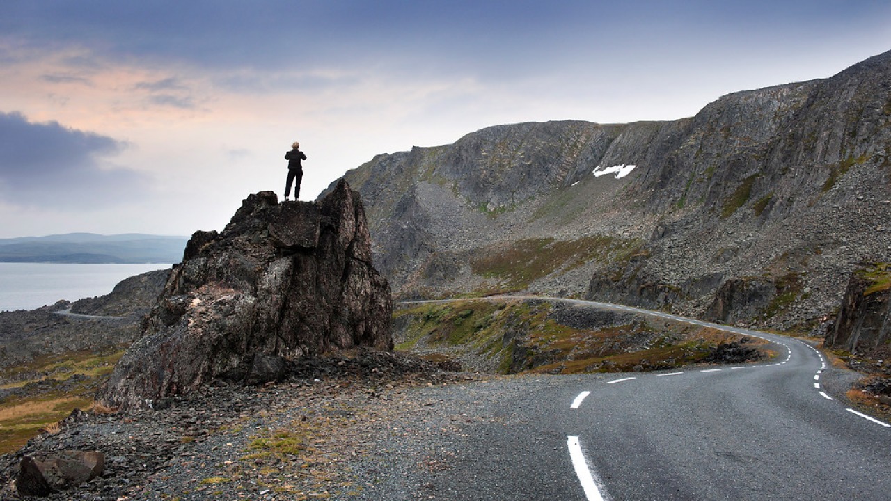
Norwegian Scenic Route Varanger
Norwegian Scenic Route Varanger is a 160 km drive from Varangerbotn to Hamningberg, combining Arctic coastal scenery, distinctive wildlife and a dramatic rocky landscape.
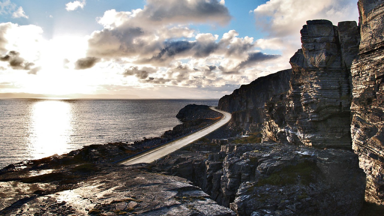
Norwegian Scenic Route Havøysund
Norwegian Scenic Route Havøysund is a 67 km Arctic coastal drive from Kokelv to Havøysund through barren rock landscapes, open sea views and remote Finnmark scenery.