
10 Best Hikes in Norway – Part 2: Fjords, Peaks & Arctic Views
 Chris Toft
There is much more to hiking in Norway than its most famous landmarks. Beyond Trolltunga, Preikestolen and Besseggen, you will find mountain ridges, deep river valleys and coastal summits with views worth planning a trip around.
Following our first selection of ten spectacular hikes in Norway, here are ten more favourites to add to your list.
Distances and times are approximate and refer to the routes described below in snow-free conditions. Allow extra time for breaks, photographs and changing conditions.
1. Knutshøe – Jotunheimen
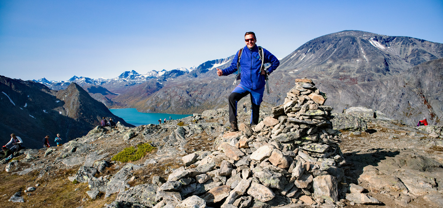
Photo: Chris A.
Across the water from Besseggen, Knutshøe offers an exciting ridge hike above the lakes and valleys of Jotunheimen. The route combines wide mountain views with exposed sections and scrambling. It is a rewarding choice for experienced hikers who are comfortable with heights. The trail is not continuously marked, so careful route-finding and dry weather are essential.
- Distance: Approx. 12 km circuit from Vargebakken
- Duration: 5–6 hours
- Difficulty: Demanding, with exposed scrambling
- Area: Jotunheimen / Valdresflye
Read the full Knutshøe hiking guide
2. Aurlandsdalen – Aurland
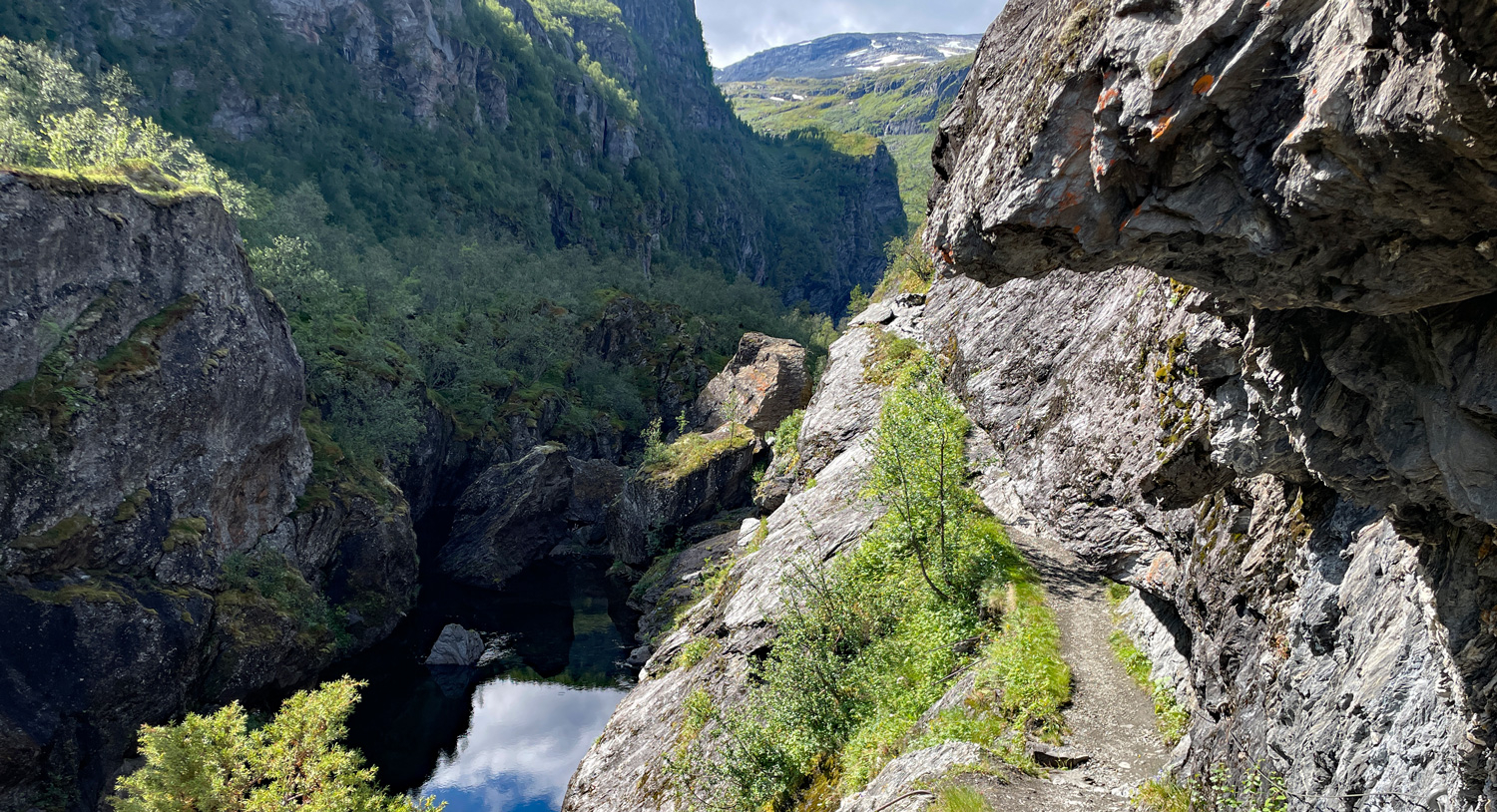
Photo: Jeanette E.
The classic walk from Østerbø to Vassbygdi follows Aurlandsdalen through a landscape of steep valley walls, rushing water and old mountain farms. Rather than climbing to a summit, you travel through the valley as the scenery changes around you. Although the route mainly descends, its length and uneven terrain make it a substantial day hike. Arrange transport before setting off.
- Distance: Approx. 20 km one way, Østerbø to Vassbygdi
- Duration: 6–8 hours
- Difficulty: Demanding
- Area: Aurland / Sognefjord
Read the full Aurlandsdalen hiking guide
3. Molden – Luster
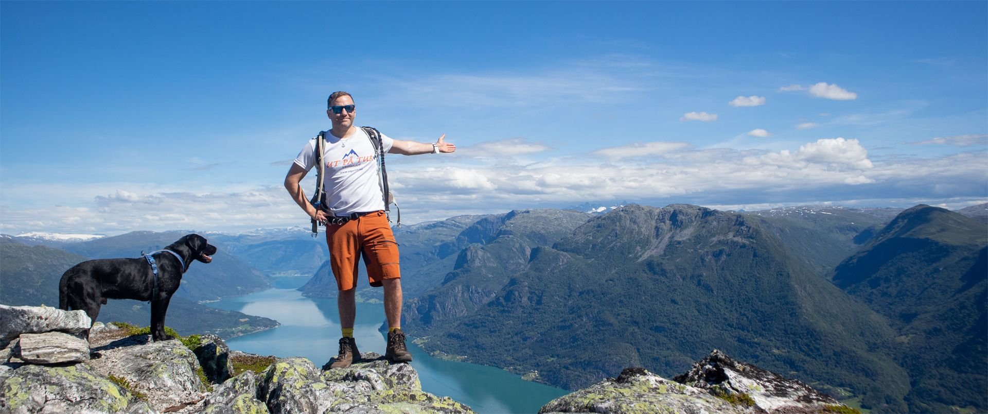
Photo: Chris A.
Molden is a superb choice for sweeping views over Lustrafjorden. Starting at Krossen, the trail climbs through forest before opening onto mountain terrain high above the fjord. The views extend across the water towards the surrounding mountains, making this a memorable summit hike without the distance of Norway’s longest mountain routes.
- Distance: Approx. 8.6 km round trip from Krossen
- Duration: 4–5 hours
- Difficulty: Moderate
- Area: Luster / Sognefjord
Read the full Molden hiking guide
4. Saksa – Sunnmøre Alps
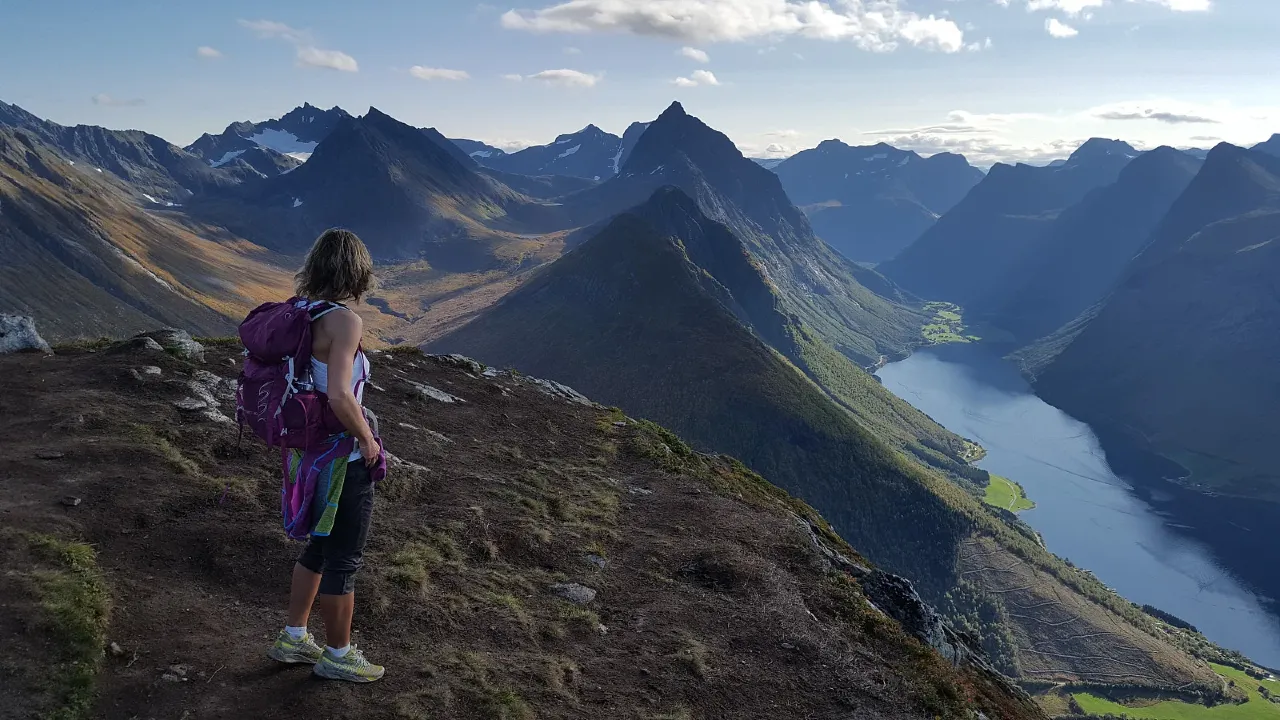
Photo: Johan Solberg
Rising above Urke, Saksa brings together the defining features of the Sunnmøre Alps: steep mountains, deep fjords and a striking sense of height. The sustained climb includes stone steps and rewards hikers with views over Hjørundfjorden and Norangsfjorden. The popular southern summit is a natural turnaround point; continuing between Saksa’s summits involves more exposed terrain and scrambling.
- Distance: Approx. 6–7 km round trip from Urke, depending on turnaround point
- Duration: 4–6 hours
- Difficulty: Demanding
- Area: Urke / Hjørundfjord
Read the full Saksa hiking guide
5. Slogen – Sunnmøre Alps
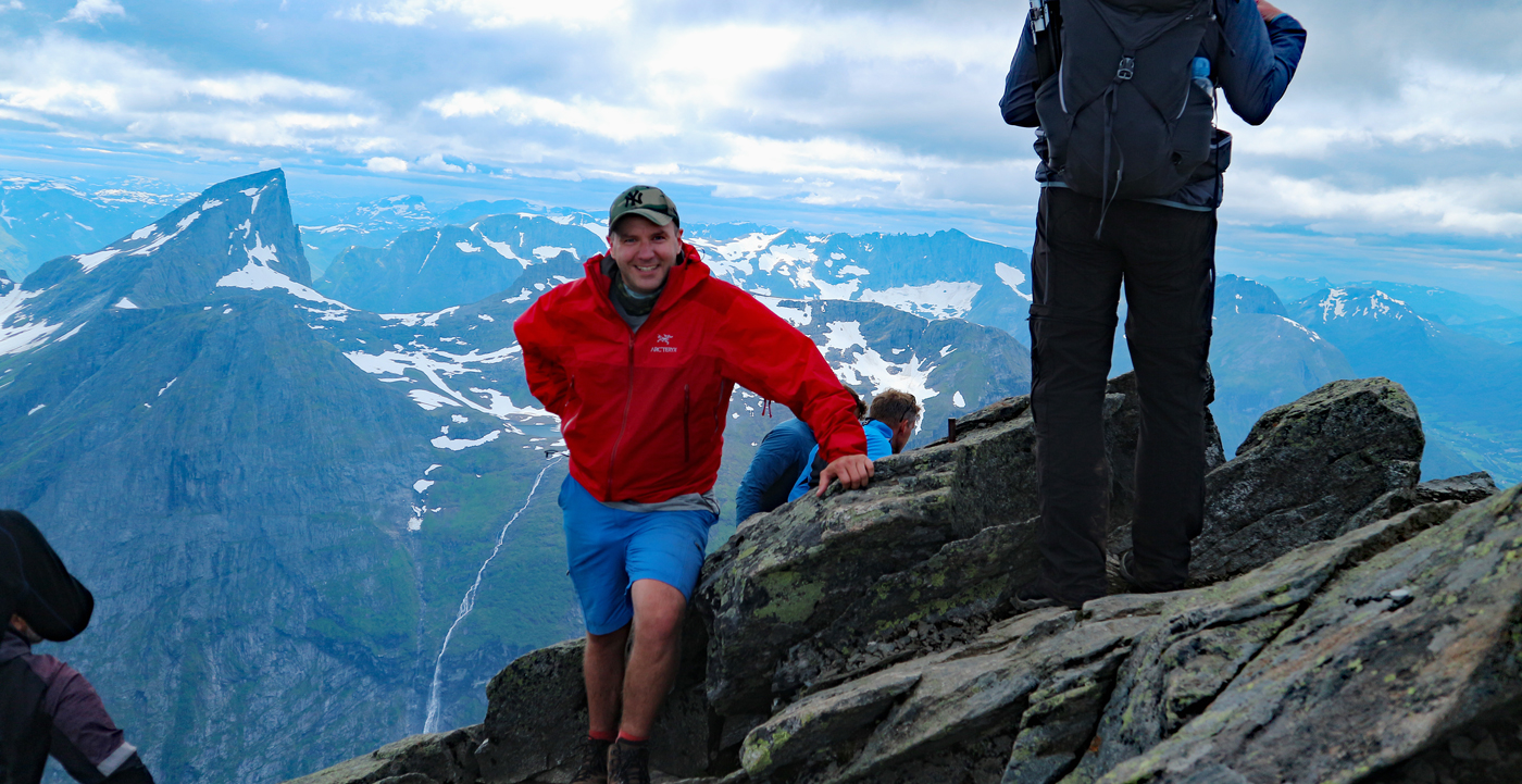
Photo: Chris A.
Slogen rises like a pyramid above the fjords of Sunnmøre. From its 1,564-metre summit, the surrounding peaks and the waters of Hjørundfjorden create a remarkable mountain panorama. The direct route from Øye is steep almost throughout, gaining around 1,500 metres in elevation. Exposed scrambling near the summit makes this a hike for experienced mountain walkers in good conditions.
- Distance: Approx. 7 km round trip via the direct route from Øye
- Duration: 7–8 hours
- Difficulty: Very demanding, with exposed scrambling
- Area: Øye / Hjørundfjord
Read the full Slogen hiking guide
6. Fosseråsa – Geiranger
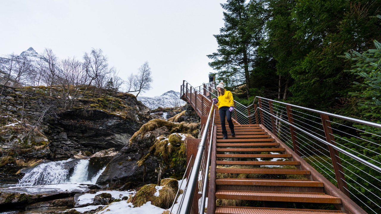
Photo: Fredrik Ahlsen, Maverix / Visitnorway.com
Fosseråsa offers a different kind of hiking highlight: the chance to experience a waterfall from behind its curtain of water. The trail climbs through Geiranger’s wooded hillsides and cultural landscape towards Storsæterfossen. Starting at the Norwegian Fjord Centre gives you a substantial walk; starting in the village adds distance. Take particular care on wet steps and slippery sections near the waterfall.
- Distance: Approx. 8 km round trip from the Norwegian Fjord Centre to Storsæterfossen
- Duration: Approx. 4 hours
- Difficulty: Moderate
- Area: Geiranger / Geirangerfjord
Read the full Fosseråsa hiking guide
7. Snøhetta – Dovrefjell
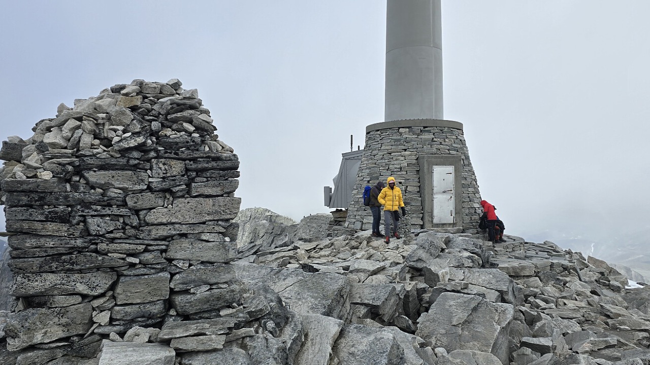
Photo: Johan Solberg
For a taste of Norway’s high mountains, head to Snøhetta’s main summit, Stortoppen, at 2,286 metres. The route from Snøheim crosses open mountain terrain before climbing over increasingly rocky ground. On a clear day, the summit reveals an expansive mountain landscape. This is a demanding high-altitude hike: check conditions and arrange transport to Snøheim in advance.
- Distance: Approx. 12 km round trip from Snøheim
- Duration: Approx. 6 hours
- Difficulty: Demanding
- Area: Dovrefjell
Read the full Snøhetta hiking guide
8. Bondhusvatnet – Hardanger
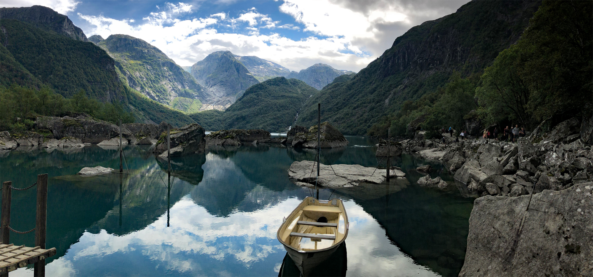
Photo: Chris A.
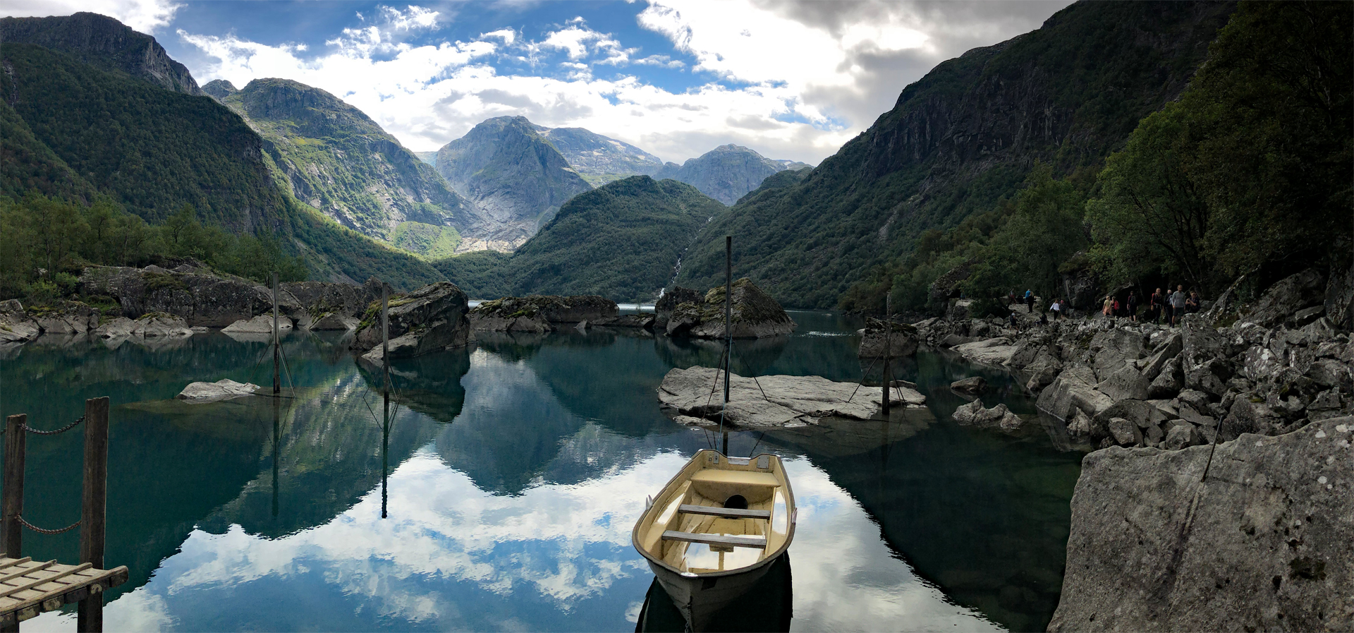
Emerald-green water, steep mountains and a lush valley make Bondhusvatnet one of Hardanger’s most photogenic hiking destinations. From the parking area near Sundal, a broad gravel track leads gently up Bondhusdalen to the lakeshore. It is an excellent choice for a shorter walk between more demanding mountain hikes. Take time to enjoy the reflections, and remember that swimming is prohibited because the lake supplies drinking water.
- Distance: Approx. 5 km round trip from Bondhusdalen parking to the lake
- Duration: Approx. 2 hours
- Difficulty: Easy
- Area: Sundal / Kvinnherad / Hardanger
Read the full Bondhusvatnet hiking guide
9. Ryten – Lofoten
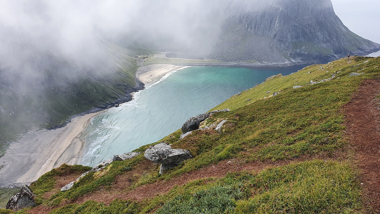
Photo: Johan Solberg
From Ryten, the golden sands of Kvalvika lie far below, framed by steep mountains and the open sea. The approach from Innersand passes through varied terrain before reaching one of Lofoten’s most memorable coastal viewpoints. The figures below cover the direct summit hike; descending to Kvalvika beach adds distance, climbing and time.
- Distance: Approx. 7 km round trip from Innersand, excluding the beach detour
- Duration: 3–5 hours
- Difficulty: Moderate to demanding
- Area: Fredvang / Lofoten
Read the full Ryten hiking guide
10. Offersøykammen – Lofoten
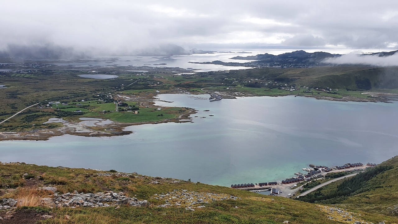
Photo: Johan Solberg
Offersøykammen proves that a mountain does not need to be especially high to deliver a remarkable view. This 436-metre summit overlooks Nappstraumen and the surrounding islands, mountains and coastline. The climb is short but steep, making it a rewarding option for a shorter hiking day. Plan the approach from Skreda carefully, as it involves walking beside and crossing the E10.
- Distance: Approx. 3–4 km round trip from Skreda, including the road approach
- Duration: 2–3 hours
- Difficulty: Moderate, with a steep ascent
- Area: Vestvågøy / Lofoten
Read the full Offersøykammen hiking guide
Plan Your Hike in Norway
Choose a route that suits your experience and fitness, and check the detailed hiking guide before setting out. Mountain weather changes quickly, and snow can remain well into summer. Carry suitable footwear, warm and waterproof clothing, food, water and navigation equipment. Check the forecast, local trail information and any access restrictions, and be prepared to turn back.
These summaries are intended for inspiration and do not replace a detailed map, current local advice or your own assessment of conditions.
Written by
Chris Toft
Founder of Across Norway, sharing handpicked travel tips and outdoor experiences from across Norway.